Běhání a fotointervaly, psy a západ slunce 🙂 * Running and photo-intervals, dogs and sunset 🙂
(CS-EN)
Ahoj. Po třech dnech přejídání se a 🥂🍷🥃 jsem se rozhodl, že je čas si zaběhat trochu více.
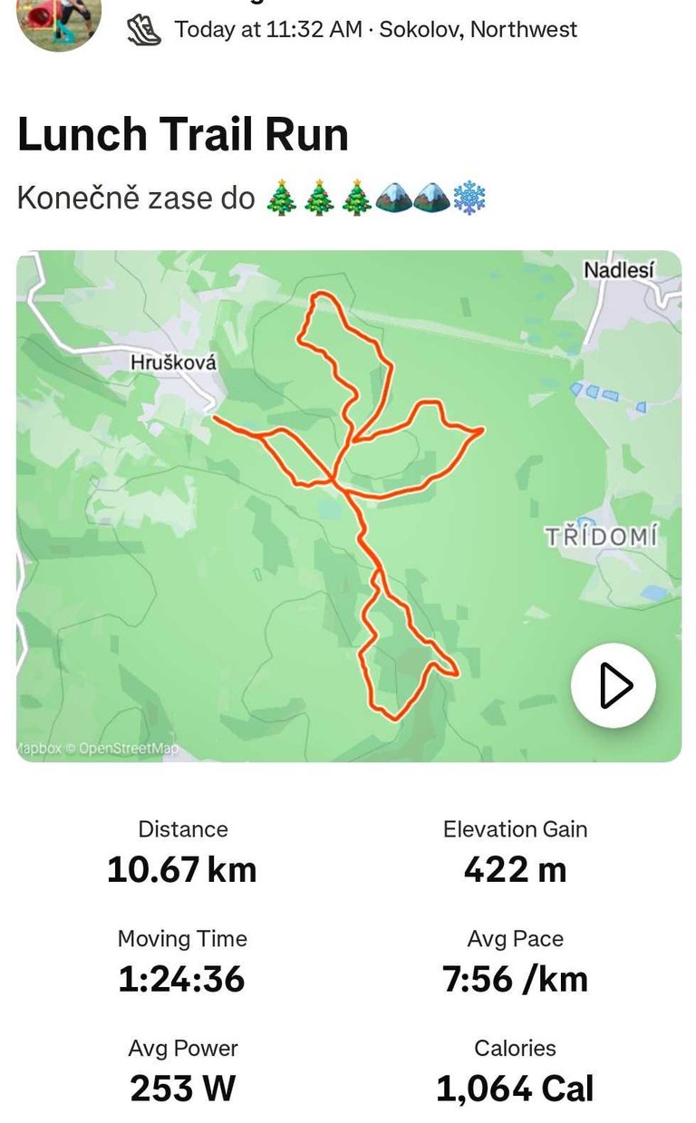
Vyjel jsem na moje oblíbené místo k lesu. Čekalo mě i pár kopců.
Běhám zde docela často a taky fotím. Fotím většinou pořád stejná místa, protože si myslím, že za fotku stojí.
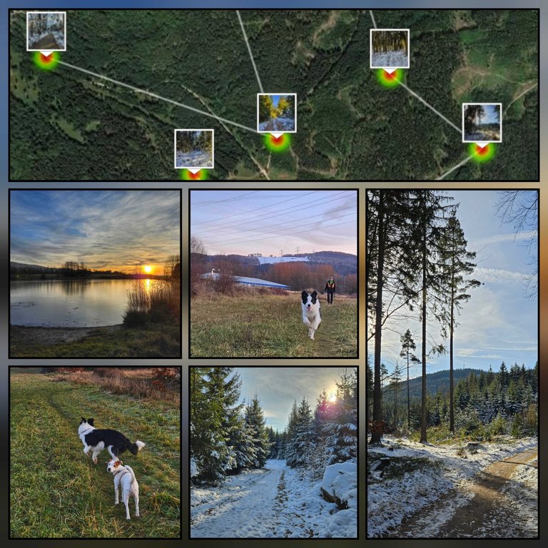
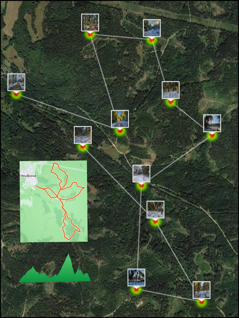
Dneska jsem se rozhodl, abych neměl pořád stejné fotky, že udělám fotku každý kilometr na trase.
Tak se taky stalo🙂. Vyfotil jsem místa, která bych jinak ani nefotil.
Občas je tu teda nějaká nudnější fotka, ale nemusel jsem moc přemýšlet 🙂.
Pípnul kilometr, zastavit...cvak.
...(Translated by DeepL)...
Hi. After three days of overeating and 🥂🍷🥃 I decided it was time to run a little more.
I headed out to my favorite spot by the woods. There were a few hills waiting for me too.
I run here quite often and take pictures too. I usually take pictures of the same places all the time because I think they are worth taking.
Today I decided, so I wouldn't have the same photos all the time, that I would take a photo every kilometer on the trail.
So that's what happened🙂. I took pictures of places that I wouldn't have taken pictures of otherwise.
So sometimes there is a more boring photo, but I didn't have to think too much 🙂 .
Beep a kilometer, stop...click.
0.km
Start od provizorního parkoviště na konci obce Hrušková.
Start from the temporary parking lot at the end of the village of Hrušková.
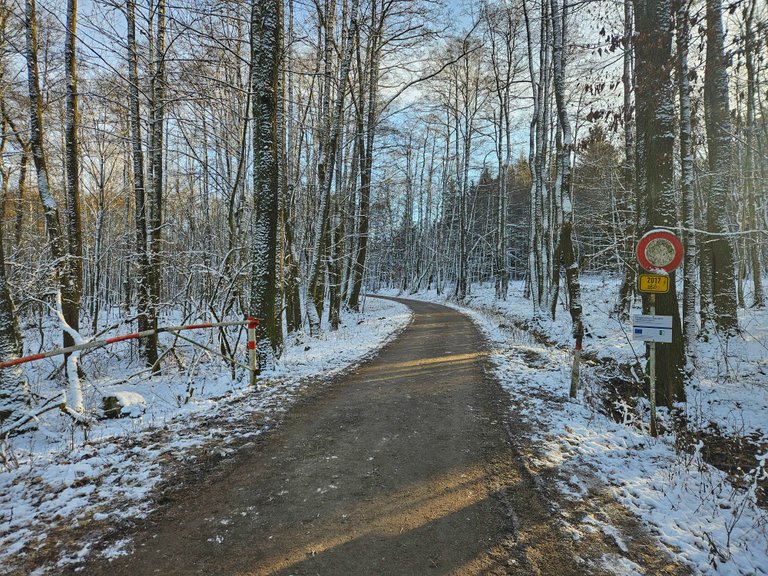
1.km
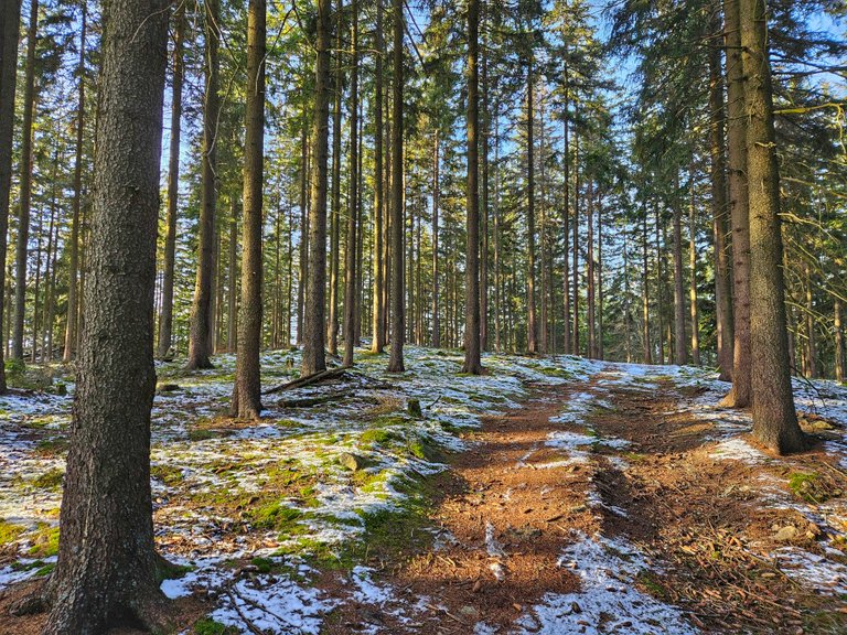
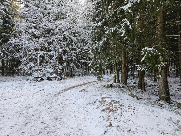
Odbočka z hlavní asfaltové cesty. Teď už většinou lesními cestami.
Turn off the main asphalt road. Mostly forest roads now.
2.km
Těsně pod prvním ze dvou vrcholů. (Spálený vrch - 744 m n.m)
Just below the first of the two peaks (Spaleny vrch - 744 m above sea level)
3.km
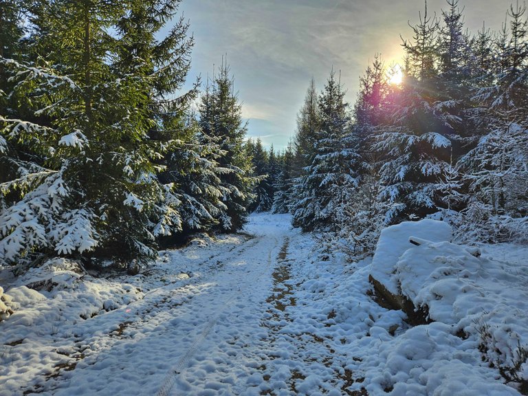
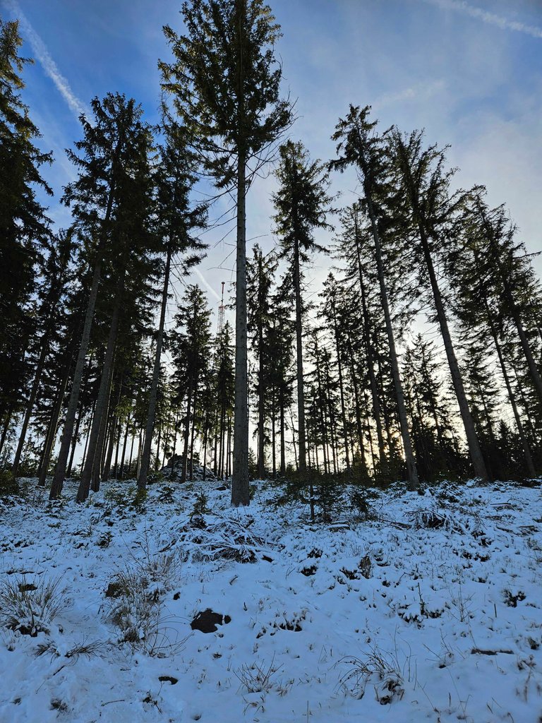
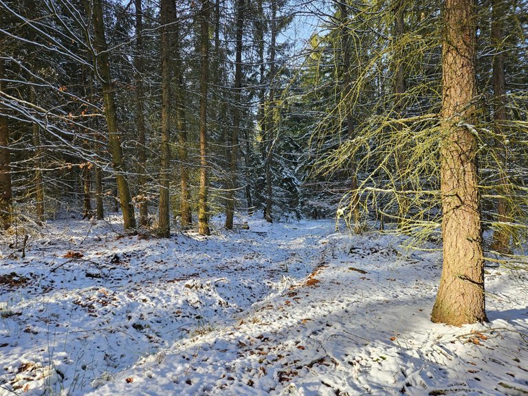
Tohle je asi nejkrásnější fotka. Vyšlo to hezky se sluncem těsně nad stromy.
This is probably the most beautiful photo. It came out nice with the sun just above the trees.
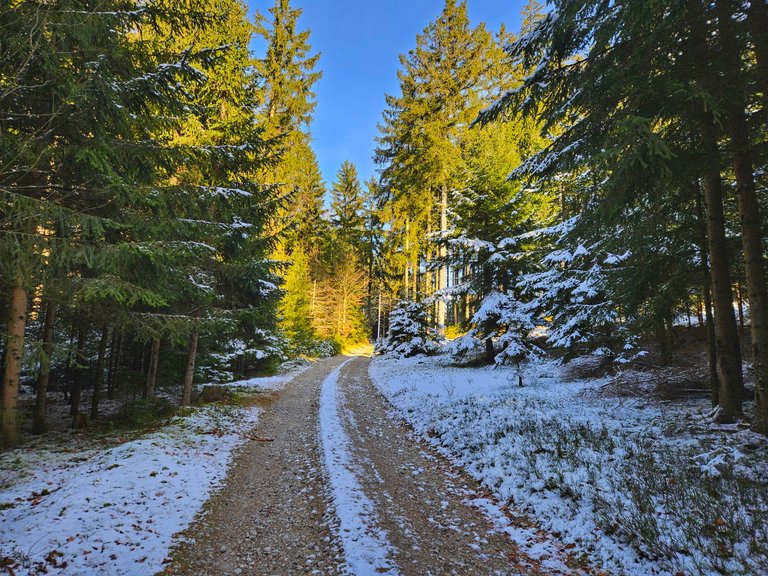
4.km
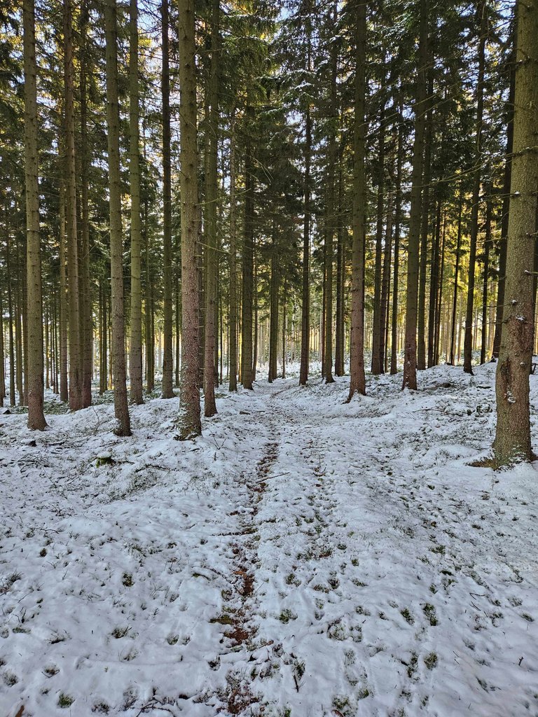
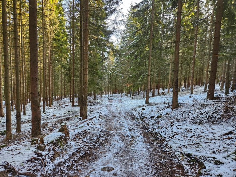
Cesta vysokým lesem 🙂
The road through the tall forest 🙂
5.km
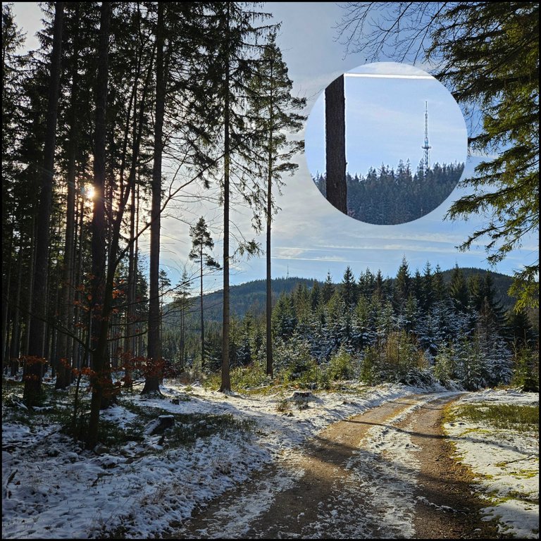
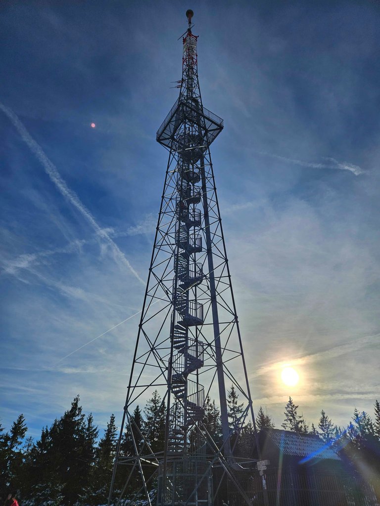
Tady je vidět rozhledna Krudum, kam mám namířeno.
Here you can see the Krudum lookout tower, where I'm headed.
6.km
Odbočka z hlavní cesty k rozhledně Krudum. Nejstrmější 1 km na trase.
Turn off the main road to the Krudum lookout tower. The steepest 1 km on the route.
7.km
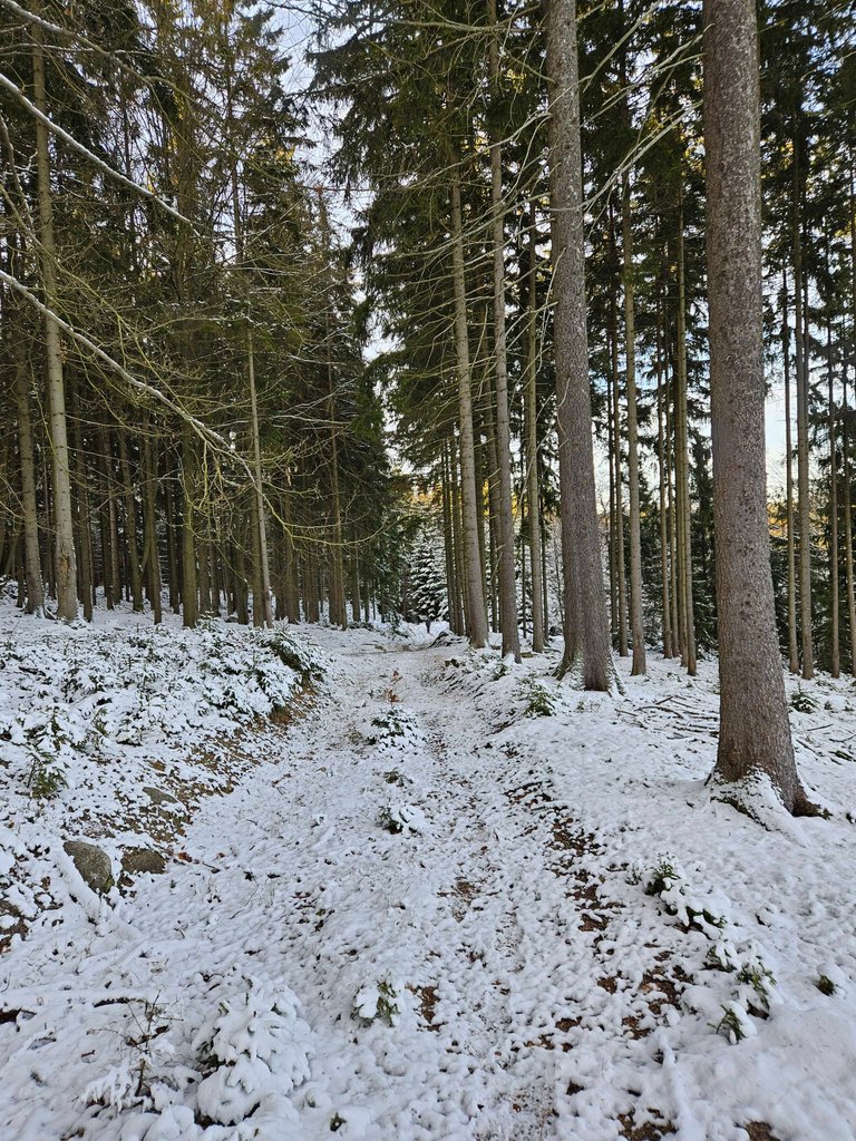
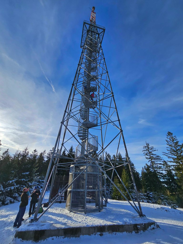
Už jen kousek k nejvyššímu bodu trasy a k rozhledně Krudum. (836 m n.m)
It is only a short distance to the highest point of the route and to the Krudum lookout tower (836 m above sea level).
8.km
Tady jsem zase před koncem pořádného klesání.
Here I am again before the end of a good descent.
9.km
Za chvilku se napojím na cestu, kterou jsem šel nahoru a běžím zpátky.
In a moment I'll join the path I took up and run back.
10.km
Posledních 670m k autu.
Last 670m to the car.
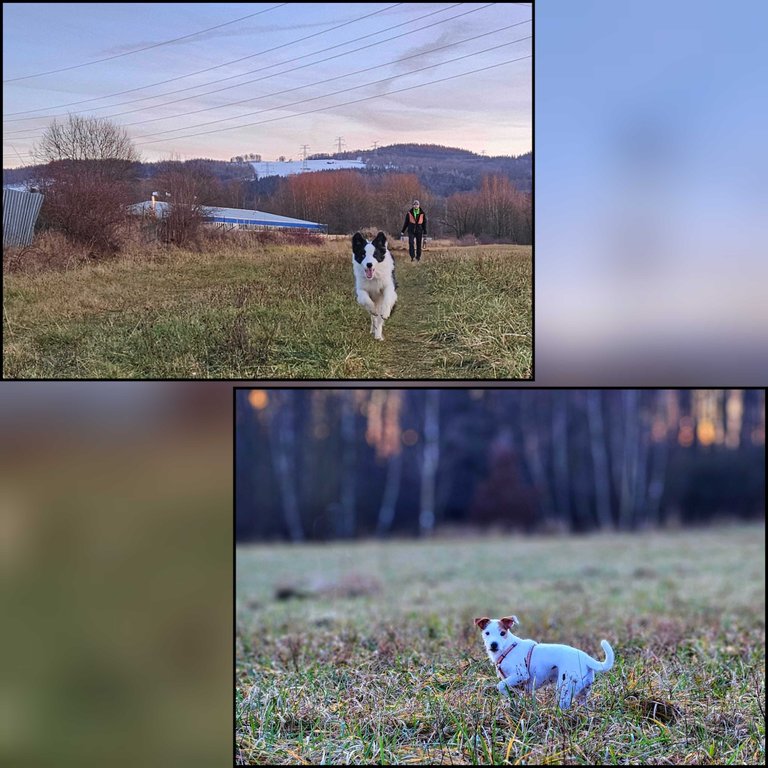
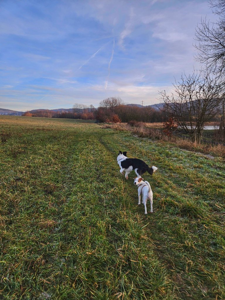
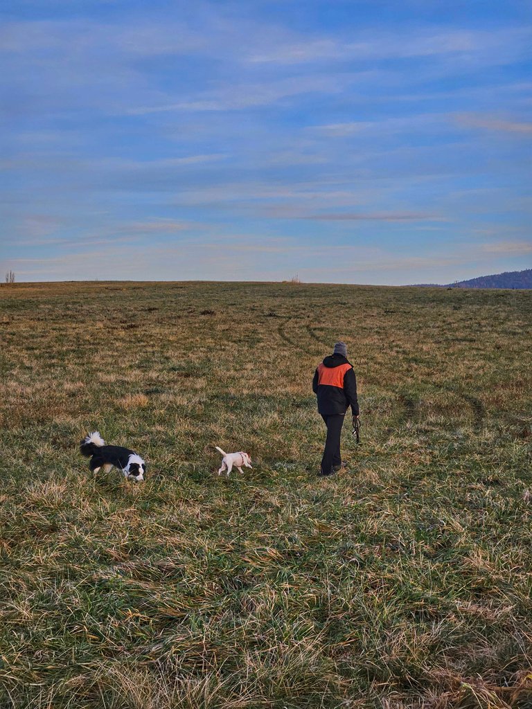
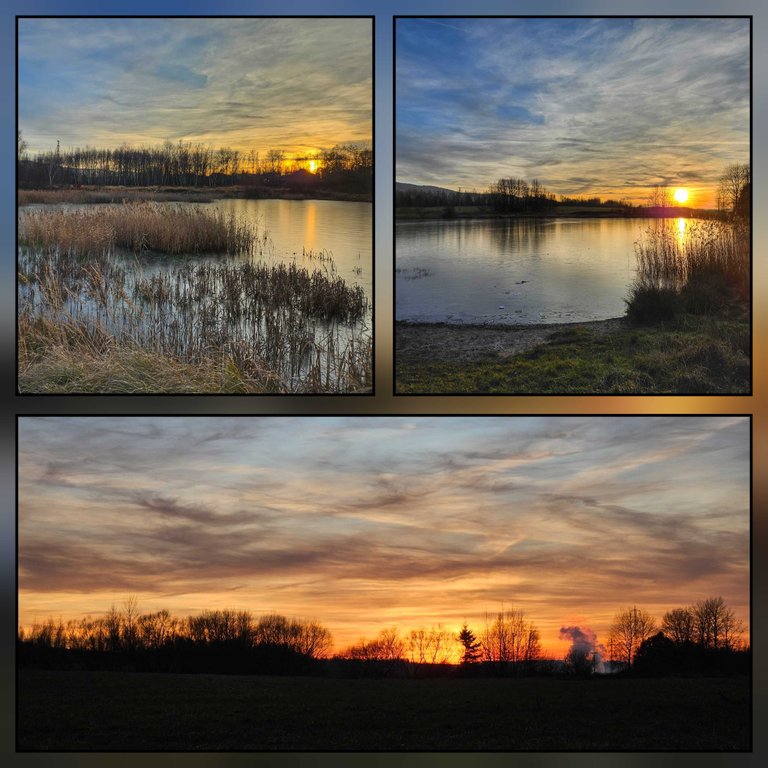
Odpoledne, před noční 12 jsme šli se synem, s Dantíkem a s Cesmínou zase za město na pole.
V tuhle dobou, za jasného počasí, tam jsou moc pěkné západy slunce.
In the afternoon, before the night 12-hour shift, we went with my son, Dantík and Cesmína to the fields.
At this time, in clear weather, there are very nice sunsets.
...a ještě rozhledna Krudum 🙂
...and the Krudum lookout tower 🙂

This report was published via Actifit app (Android | iOS). Check out the original version here on actifit.io







Congrats on providing Proof of Activity via your Actifit report!
You have been rewarded 61.985 AFIT tokens for your effort in reaching 21332 activity, as well as your user rank and report quality!
You also received a 0.99% upvote via @actifit account.
AFIT rewards and upvotes are based on your:
To improve your user rank, delegate more, pile up more AFIT and AFITX tokens, and post more.
To improve your post score, get to the max activity count, work on improving your post content, improve your user rank, engage with the community to get more upvotes and quality comments.
Chat with us on discord | Visit our website
Follow us on Twitter | Join us on Telegram
Download on playstore | Download on app store
Knowledge base:

FAQs | Whitepaper
How to signup | Maximize your rewards
Complete Actifit Tutorial
Support our efforts below by voting for: