#TBT Naiguatá peak 🗻
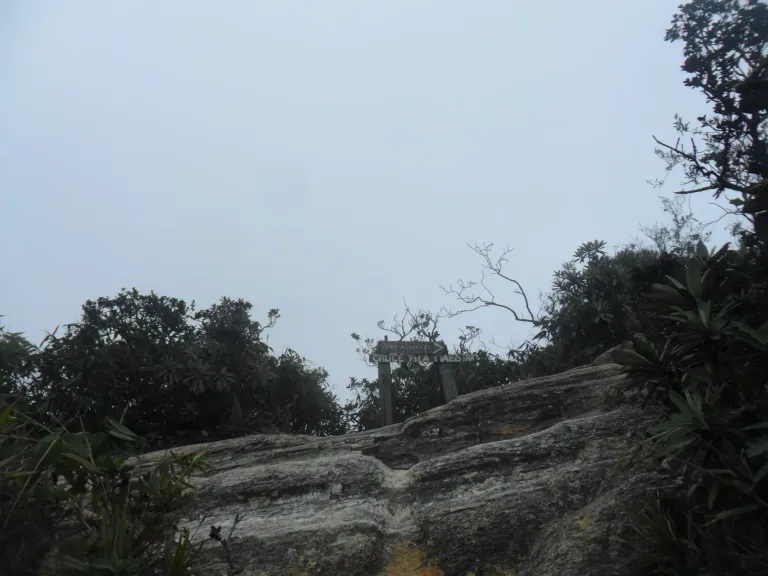
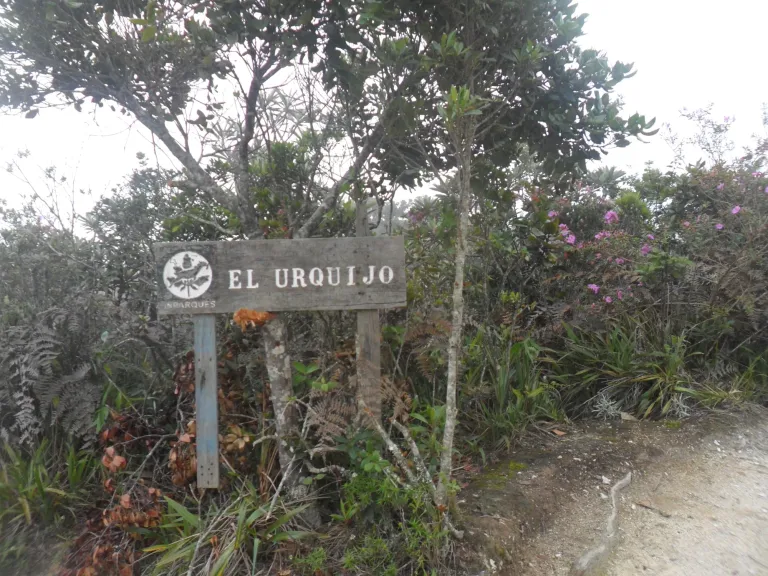
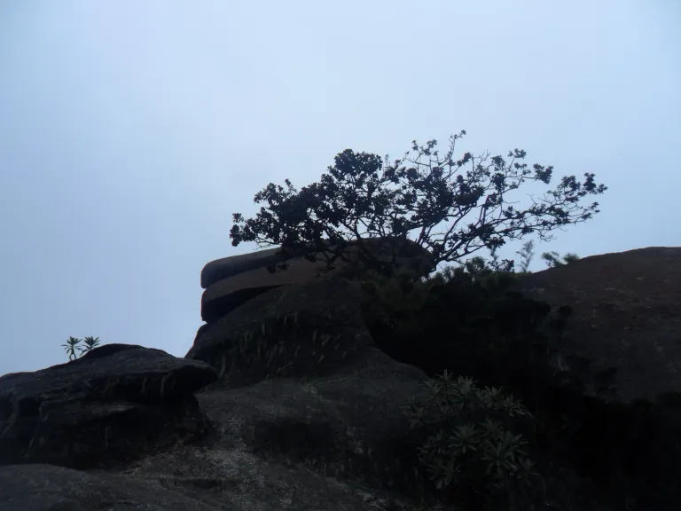
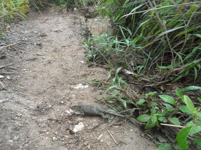
I walked for hours in the rain, slipped, fell, got dirty, and ended up exhausted, but happy because I reached my goal.
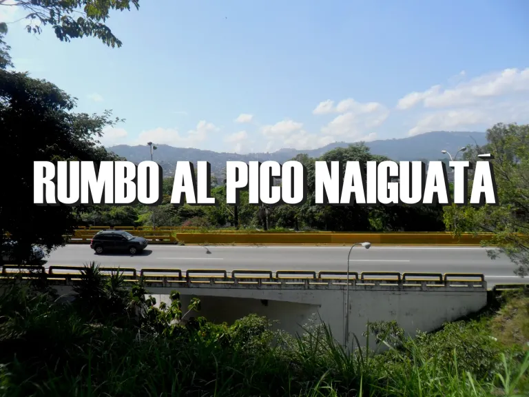
One I had dreamed of for many months: Climb to the Naiguatá peak and return to the city the same day. I talked to several friends and invited them to climb together, but none accepted, mainly because we didn't know the route, but I've always been foolish and reckless, so I decided to give it a try.
The Naiguatá peak is located at over 2700 meters above sea level, but the ascent from Caracas starts at 1000 meters above sea level, so it is a vertical route with approximately 1700 meters of positive elevation gain. Moreover, descending on the same day means covering the same 1700m descent, which is also very difficult due to the slope and uneven terrain.
Knowing this and with an estimated total journey time of 8 hours, my pace was as fast as possible because I would have to traverse part of the hill with little daylight at the end of the route.
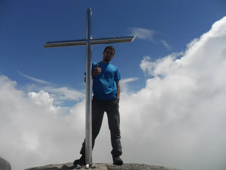
It took me a little over 8 hours and although I was very tired, it was one of the best days of my life. On the way, I met several mountaineers who helped me take some photographs, these that we are seeing today for my #TBT.
Eleven years have passed, and today I feel a strong desire to try again. I'm not sure if I have the right conditions, but I'm still the same reckless fool. Maybe I'll surprise myself before the end of 2024.
Spanish
Caminé horas bajo la lluvia, me resbalé, me caí, me ensucié y quedé exhausto, pero feliz porque llgué a mi meta.
Una con la que había soñado por muchos meses: Subir al pico Naiguatá y volver a la ciudad el mismo día. Hablé con varios amigos y los invité a subir juntos, pero ninguno aceptó, principalmente porque no conocíamos la ruta, pero yo siempre he sido tonto y arriesgado, por eso decidí intentarlo.
El pico Naiguatá se encuentra a más de 2700msnm, pero el ascenso desde Caracas comienza a 1000msnm, así que es una ruta vertical con aproximadamente 1700m de desnivel positivo. Además, bajar el mismo día implica recorrer los mismos 1700m de bajada, que también son muy difíciles dada la inclinación y el terreno irregular.
Sabiendo esto y teniendo un estimado de 8 horas de recorrido total, mi ritmo fue lo más rápido posible porque tendría que recorrer parte del cerro con poca luz del día al final de la ruta.
Tardé un poco más de 8 horas y aunque quedé muy cansado, fue uno de los mejores días de mi vida. En el camino encontré varios montañistas que me ayudaron a tomarme algunas fotografías, estas que estamos viendo hoy para mi #TBT.
Han pasado 11 años y hoy siento muchas ganas de volver a intentarlo. No estoy seguro de que tenga las condiciones adecuadas, pero sigo siendo el mismo tonto arriesgado. Tal vez me sorprenda a mí mismo antes de que termine el 2024.
For the best experience view this post on Liketu
Congratulations @vandres! You have completed the following achievement on the Hive blockchain And have been rewarded with New badge(s)
Your next target is to reach 2000 upvotes.
You can view your badges on your board and compare yourself to others in the Ranking
If you no longer want to receive notifications, reply to this comment with the word
STOPCheck out our last posts:
Se ve bueno ese paseo
Sí, es super bueno. Una de las cosas más interesantes son los cambios de vegetación, suelo y fauna que se van viendo en el camino. Es como explorar varios mundos.
Guaaaaao es bastante tiempo y creo la montaña exige condiciones atléticas para llegar hasta allí
Para el ida y vuelta sí, se necesitan ciertas condiciones porque si te tardas mucho llegas de noche, pero vale totalmente la pena.
8 hours for 1700m? I think it will be more than that. Because I take a morning jog of a distance of about 2300m and it takes me about 19 minutes to cover.
It's actually 1700m in elevation. Complete route is over 10Km. There's a nice tail, but terrain is super irregular.
Claro es la altura sobre el nivel del mar, es muyyy rudo, hay que adaptar la respiración
Solamente tú bro, jajajaja... A mí me han invitado y me he negado muchas veces, quizás cuando tenga más training intente hacerlo, pero no creo que completo jajaja. Esta es toda una hazaña y sinceramente no dudo que puedas hacerlo de nuevo, pero vaya que deberías ir acompañado, ya que han pasado 11 años jajajaja. Gracias por compartir este recuerdo en la comunidad, siempre bienvenido bro!.