Pico Naiguatá - 10 Hours of Non-Stop Hiking [ENG-ESP]
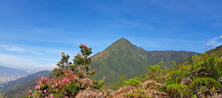
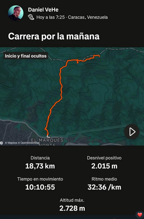
Saludos chicos- Hoy les contaré el mayor esfuerzo realizado en mi vida. Una excursión al pico más alto de la cordillera de la costa de Venezuela, con 2700 metros. Lo fuerte que esto, es que el inicio es en lo mil metros, por lo que 1700 metros tienen mucha inclinación. Esta es una ruta fuerte, aunque el clima siempre estuvo fresco y eso alivió las otras condiciones.
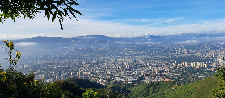
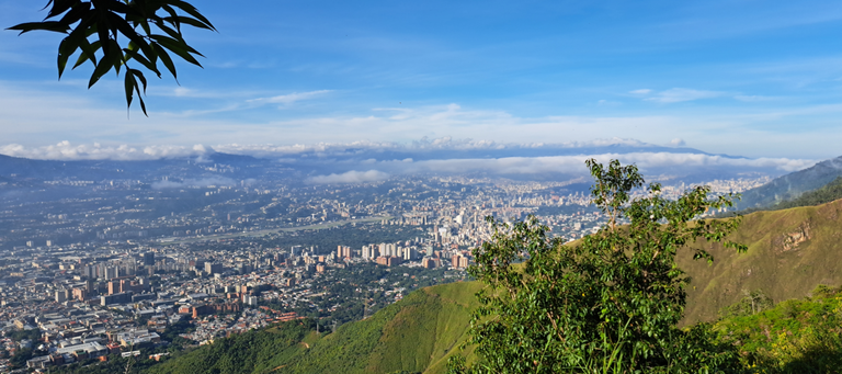
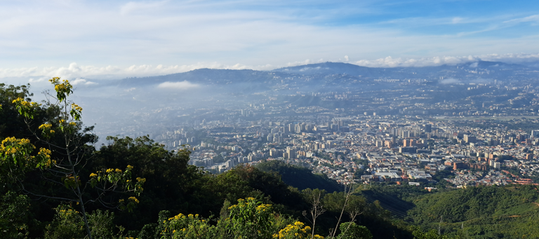
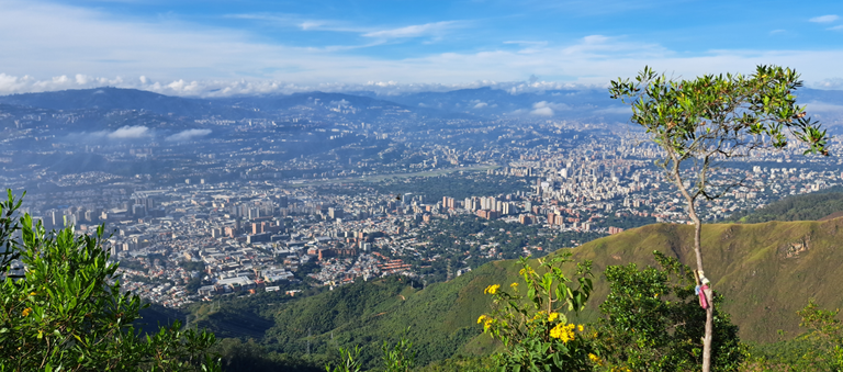
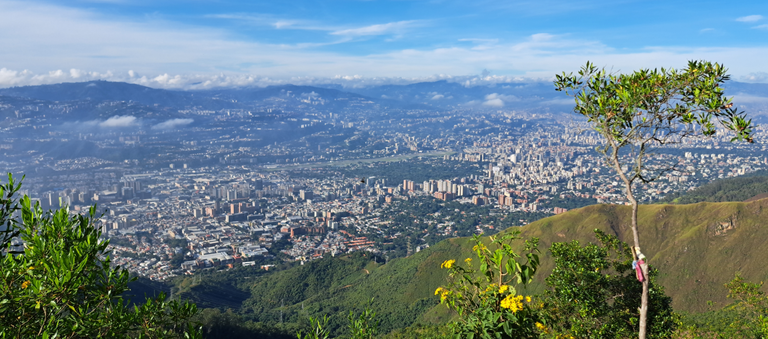
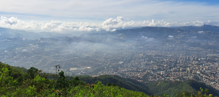
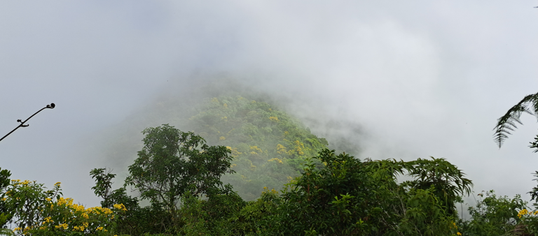
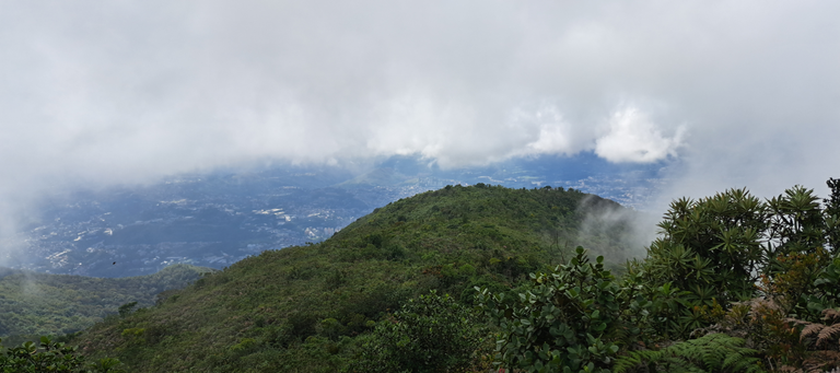
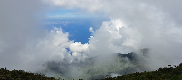
Para los que no saben, el Pico Naiguatá forma parte del Parque Nacional El Ávila (Garairarepano). Separa a la capital, Caracas, del Mar Caribe. Desde su cima se puede ver el mar, sin embargo había muchas nubes y solo en una foto se aprecia algo de la costa.
Inicié a las 7:30 am, por un camino que en principio es fácil. Este camino lo he hecho cientos o miles de veces en mi vida, desde niño. Sin embargo llega un punto que se complica y que lo he recorrido pocas veces.
A 20 minutos del inicio, que es en plena autopista; hay un puesto de guardaparques llamado La Julia. Ahí uno se anota en una lista para quedar registrado (por seguridad) y además te revisan lo que llevas, para que no incendies la montaña. No había nadie cuando pasé, por lo que ni siquiera me anoté.
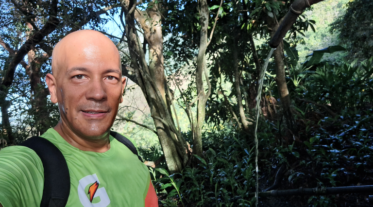
Desde este punto se comienza a dificultar el trayecto, aunque todavía poco. El agua fue un factor determinante en esta experiencia. Llevé un envase de 1.5 Litros vacío, para llenarlo más arriba en el tanque, a 10 minutos de La Julia...
Greetings guys- Today I will tell you about the greatest effort I have ever made in my life. A hike to the highest peak of the coastal mountain range of Venezuela, at 2700 meters. The strong thing about this, is that the start is at 1,000 meters, so 1700 meters is very steep. This is a strong route, although the weather was always cool and that alleviated the other conditions.
For those who do not know, the Naiguatá Peak is part of the El Ávila National Park (Garairarepano). It separates the capital, Caracas, from the Caribbean Sea. From its summit you can see the sea, however there were many clouds and only in one photo you can see some of the coast.
I started at 7:30 am, on a path that in principle is easy. I have done this trail hundreds or thousands of times in my life, since I was a child. However, there comes a point that gets complicated and that I have walked it only a few times.
At 20 minutes from the beginning, which is in the middle of the highway, there is a park ranger station called La Julia. There you sign up on a list to be registered (for safety) and they also check what you are carrying, so you don't set fire to the mountain. There was no one there when I passed, so I didn't even sign in.
From this point on, the route starts to become more difficult, although still not very difficult. Water was a determining factor in this experience. I took an empty 1.5 liter container, to fill it further up in the tank, 10 minutes away from La Julia...
Translated with DeepL.com (free version)
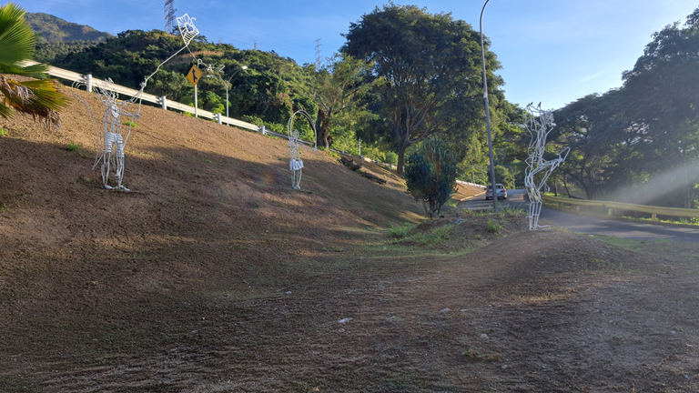
Edén
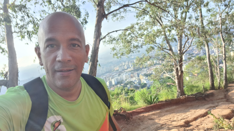
En la foto anterior estoy en el tanque llenando el agua. En ese momento estoy todavía "comenzando" la excursión. Todavía no llevo ni una hora y serían un total de 10 horas de ida y vuelta.
Ese sería el único momento donde recogería agua. No vi más en todo el camino. Sé que en Paraíso hay un chorro más grande, pero me fui por otro camino. Sin embargo creo recordar que hay más agua arriba y nunca la vi.
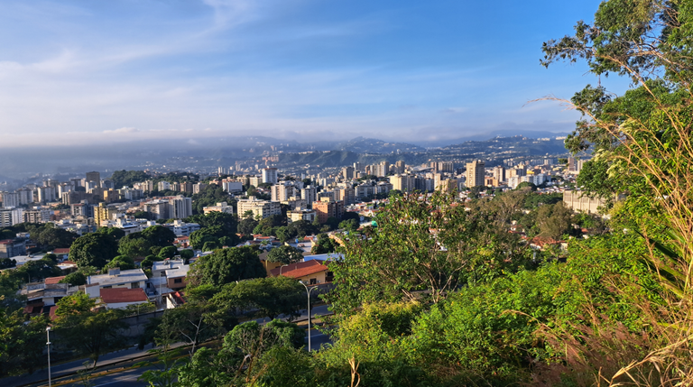
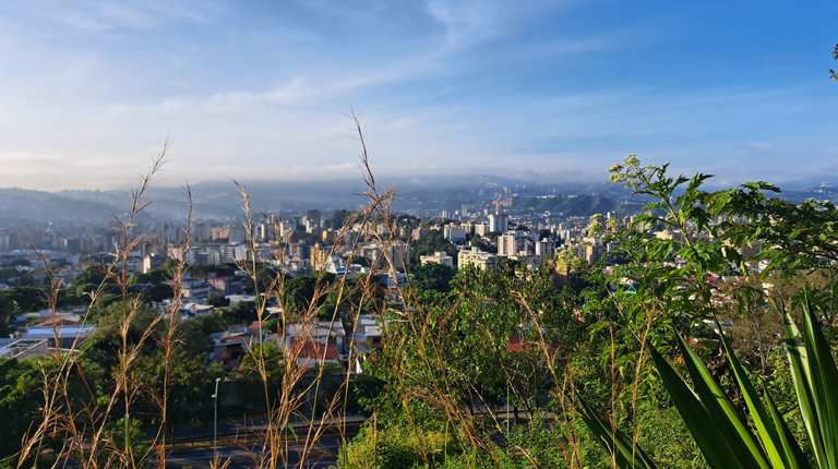
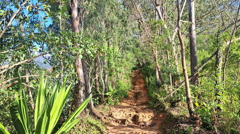
La siguiente foto es de El Edén, un mirador bien bello, donde muchos años atrás, acampé dos veces. Aunque es un poco estresante porque es muy solo, pero siempre pasa gente porque está en plena vía y dentro de la carpa sientes que te van a secuestrar jajaja.
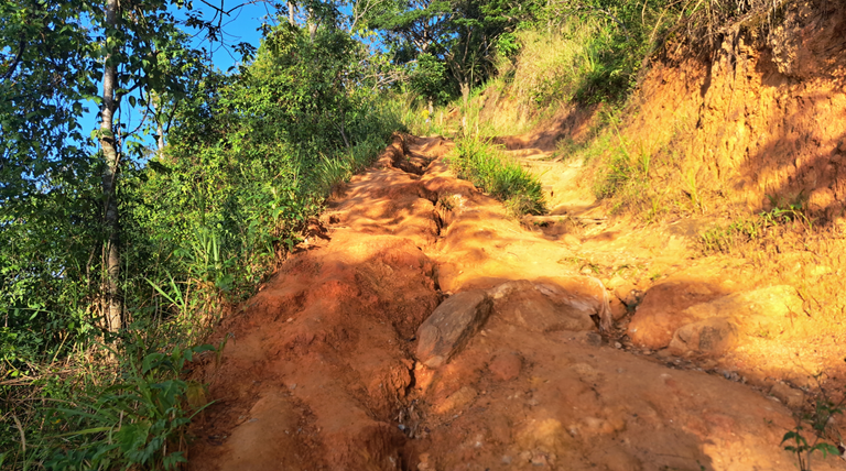
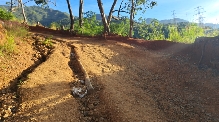
En este punto fue donde elegí otro camino diferente, al que usé en 2014, la primera vez que subí. Esto fue clave para todo lo que viví. Este camino es demasiado fuerte. Quizás estaba subiendo más rápido de lo debido, pero me cansaba demasiado. Si paraba me mareaba mucho y si seguía me cansaba. Pensé que me iba a desmayar en el kilómetro 3. Ni siquiera iba por la mitad del trayecto.
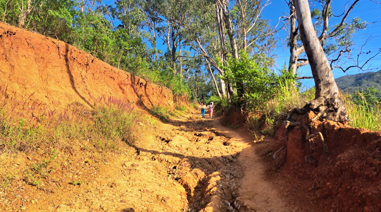
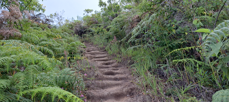
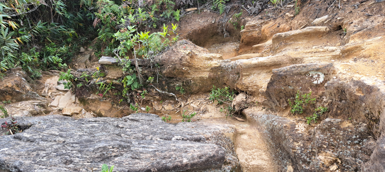
La inclinación de esta subida era demencial. Varias veces pensé en rendirme. No creía que llegaría. Era muy pronto para estar tan cansado, pero el camino cada vez era más difícil. No es un trayecto recto en subida, es con obstáculos por todos lados. Son como escalones gigantes de varias formas que uno tiene que trepar. No puedes ir a un ritmo constante.
Desde ese momento comencé a racionar el agua. No quería quedarme sin ella. Fue la mejor decisión. Soy resistente a no beber agua, eso me ayudo mucho, creo que otra persona no habría aguantado o por lo menos habría entrado en pánico.
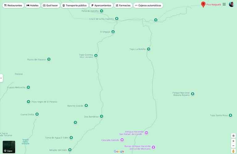
Ya en un momento que estaba listo para rendirme y regresar, se terminó el infierno del camino entre El Edén y Tres Banderas; ahí cambió y se puso menos exigente y más tolerable. La inclinación disminuyó y con menos obstáculos. Era una señal de que tenía que seguir. Fue como un mini premio para avanzar un poco más. Yo dividiría el trayecto en 5 partes, que son:
- Autopista - La Julia
- La Julia - El Edén
- El Edén - Tres Banderas
- Dos Banderas - Fila Maestra
- Fila Maestra - Naiguatá
La más difícil de todas es la tercera y más desesperante. Parece que nunca terminas.
Eden
In the above photo I am in the tank filling the water. At that moment I am still “starting” the excursion. I haven't even been there an hour yet and it would be a total of 10 hours round trip.
That would be the only time where I would pick up water. I didn't see any more the whole way. I know in Paraiso there is a bigger stream, but I went another way. However I seem to remember that there is more water up there and I never saw it.
The next photo is of El Eden, a beautiful viewpoint, where many years ago, I camped twice. Although it is a bit stressful because it is very lonely, but there are always people passing by because it is in the middle of the road and inside the tent you feel like you are going to be kidnapped hahaha.
At this point was where I chose another different path, the one I used in 2014, the first time I climbed. This was key to everything I experienced. This path is too strong. Maybe I was climbing faster than I should have, but I was getting too tired. If I stopped I would get really dizzy and if I kept going I would get tired. I thought I was going to pass out at mile 3. I wasn't even halfway up.
The steepness of this climb was insane. Several times I thought about giving up. I didn't think I would make it. It was too early to be that tired, but the road was getting harder and harder. It's not straight uphill, it's with obstacles everywhere. It's like giant steps of various shapes that you have to climb. You can't go at a steady pace.
From that moment on, I started rationing water. I didn't want to run out. It was the best decision. I am resistant to not drinking water, that helped me a lot, I think someone else would not have endured or at least would have panicked.
At a moment when I was ready to give up and go back, the hell of the road between El Eden and Tres Banderas ended; it changed and became less demanding and more tolerable. The incline decreased and with less obstacles. It was a sign that I had to keep going. It was like a mini prize to go a little further. I would divide the ride into 5 parts, which are:
- Autopista - La Julia
- La Julia - El Eden
- El Edén - Tres Banderas
- Dos Banderas - Fila Maestra
- Fila Maestra - Naiguatá
The most difficult of all is the third and most desperate. It seems that you never finish.

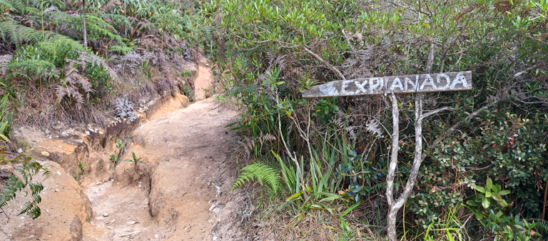
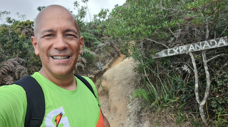
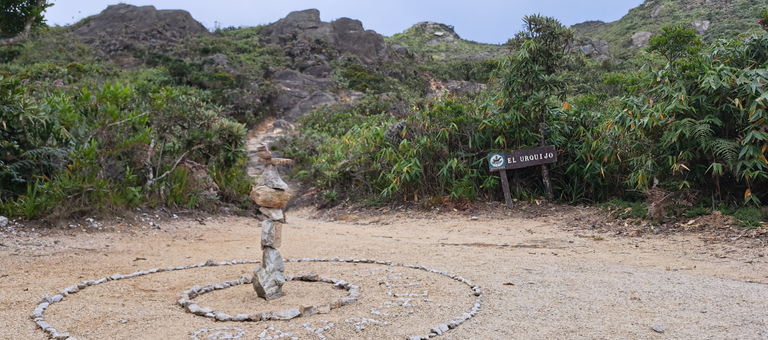
Pico Naiguatá
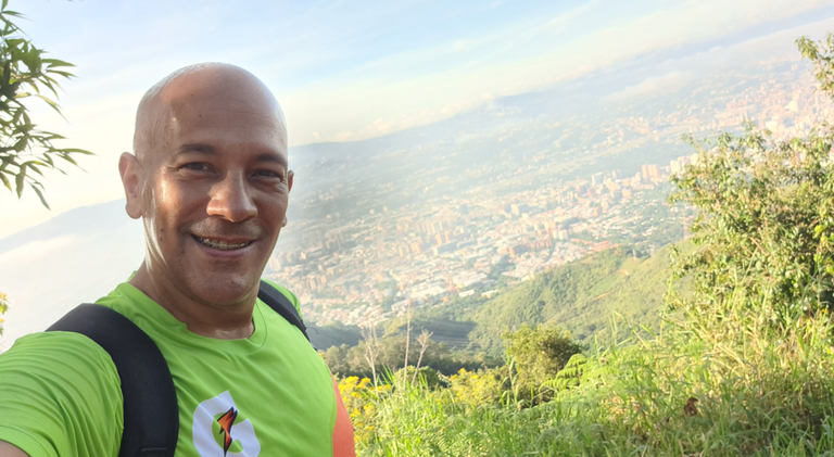
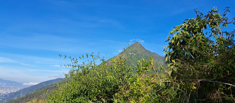
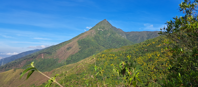
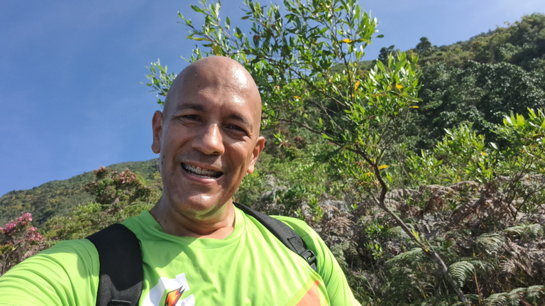
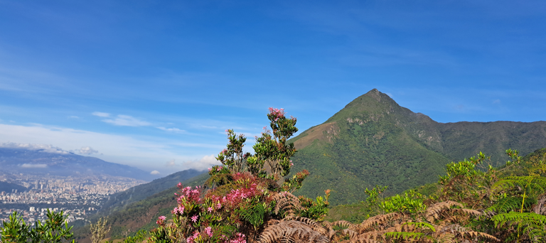
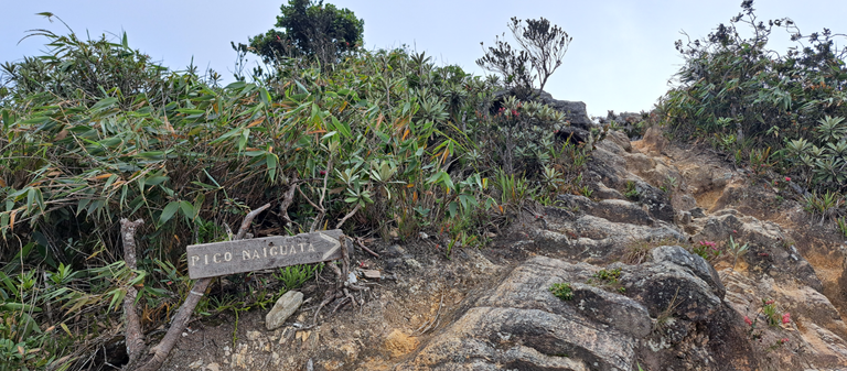
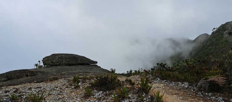
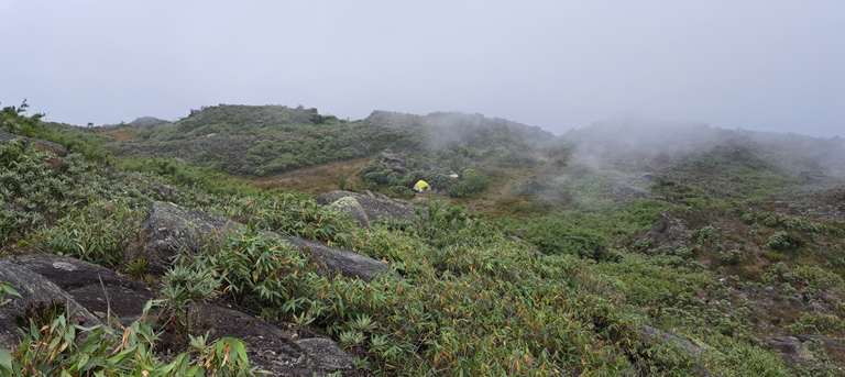
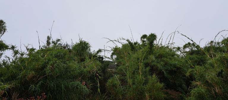
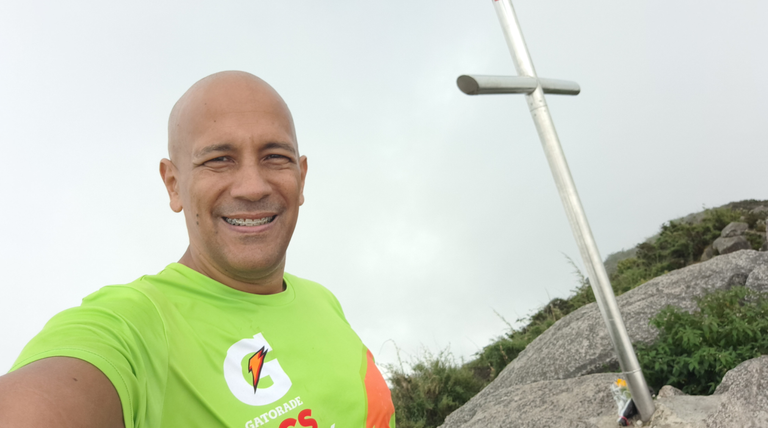
Después de pasar por mucho, incluidas varias dobladas de pie, logré llegar. Ya tenía una hora más que en mi primera vez. El trayecto de El Edén a Dos Banderas fue lo que hice nuevo; nunca había subido por ahí y es mucho más difícil, aunque más corto. Sin embargo pienso que por Paraíso uno va más rápido aunque sea más largo.
Me cansé demasiado y eso no me lo esperaba. Cada vez que tenía que subir una piedra, sentía que escalaba al Everest. Cuando vi la Cruz sentí el poder 😁
Tenía mucha hambre. Subí en ayuno. Solo me había tomado un café sin azúcar y una cucharada de aceite de coco. Eran la 1:00 y me disponía a comer unas chuletas y huevo, pero unas avispas no me dejaron, así que solo comí un par de bocados. Aunque me ayudo a recargar algo de energía, pienso que no fue suficiente. Por el camino de regreso me comí de un chocolate.
Pico Naiguatá
After going through a lot, including several standing bends, I made it. I already had an hour more than my first time. The route from El Eden to Dos Banderas was what I did new; I had never climbed that way before and it is much more difficult, although shorter. However, I think that through Paraíso you go faster even though it is longer.
I got too tired and I didn't expect that. Every time I had to climb a stone, I felt like I was climbing Everest. When I saw the Cross I felt the power 😁.
I was very hungry. I went up fasting. I had only had a coffee without sugar and a spoonful of coconut oil. It was 1:00 and I was about to eat some chops and egg, but some wasps wouldn't let me, so I only ate a couple of bites. Although it helped me to recharge some energy, I don't think it was enough. On the way back I ate some chocolate.
Retorno
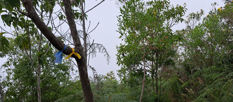
A unos minutos de emprender mi regreso, me perdí. Tomé un camino que no era, confundido por las señales que hay en algunos árboles. Estas son pedazos de tela que los excursionistas amarran.
No fue mucho tiempo el que pasé perdido. No me quise adentrar mucho, porque no me daba seguridad. Había un señor acampando solo en ese lado donde me perdí y me ayudó a regresar al camino principal. Me dio un poco de rabia, por haber perdido tiempo perdido, además el gasto de energía. Si hubiese avanzado un poco más, es posible que todavía estuviera en la montaña 😁
También les cuento que me caí dos veces y en una me dio un calambre terrible. Bajé desde la cima con el calambre. Me doblé el pie muchas veces. Es como cuando te muerdes una vez el labio y después te lo muerdes siempre. Eso me dolía bastante y me frenaba.
De nuevo la peor parte fue desde Dos Banderas a El Edén, igualmente en la baja, es desesperante. Ya aquí uno tiene las piernas muy cansadas. No es el mismo esfuerzo y el cansancio es diferente. De subida te falta el aliento, sientes presión en los pulmones, no te alcanza el aire; pero de bajada son las piernas que duelen. Aunque para ser sincero, mis piernas estuvieron mejor esta vez que en 2014. Ahora estaban más fuerte y llegaron mejor.
En La Julia tuve que sentarme porque estaba muy mareado. Ya había podido recargar agua en el tanque, después de muchas horas ahorrando 1.5 litros, que es nada para el esfuerzo realizado y la cantidad de horas.
Aunque fueron 19 kilómetros, es el mayor esfuerzo físico que he realizado, incluso más que cualquiera de los maratones (42K) que he corrido. Por un momento pensé que a @elmerlin se le ocurría un reto de 21 días subiendo al Naiguatá sin fallar, jajajajajaja LA LOCURA!!!
Return
A few minutes before starting my return, I got lost. I took a wrong trail, confused by the signs on some trees. These are pieces of cloth that hikers tie up.
It wasn't long that I was lost. I didn't want to go too far, because I didn't feel safe. There was a man camping alone on that side where I got lost and he helped me get back to the main trail. I was a little angry, because I had lost time and wasted energy. If I had gone a little further, it is possible that I would still be on the mountain 😁.
I also tell them that I fell twice and in one I got a terrible cramp. I came down from the top with the cramp. I bent my foot many times. It's like when you bite your lip once and then you bite it every time. That hurt quite a bit and slowed me down.
Again the worst part was from Dos Banderas to El Eden, also on the descent, it is desperate. Already here you have very tired legs. It's not the same effort and the fatigue is different. On the way up you are short of breath, you feel pressure in your lungs, you can't get enough air; but on the way down it's the legs that hurt. Although to be honest, my legs were better this time than in 2014. Now they were stronger and they arrived better.
In La Julia I had to sit down because I was very dizzy. I had already been able to refill water in the tank, after many hours saving 1.5 liters, which is nothing for the effort made and the amount of hours.
Even though it was 19 kilometers, it's the most physical effort I've ever made, even more than any of the marathons (42K) I've run. For a moment I thought @elmerlin would come up with a 21 day challenge climbing Naiguatá without failing, hahahahahahahahaha THE CRAZY!!!!
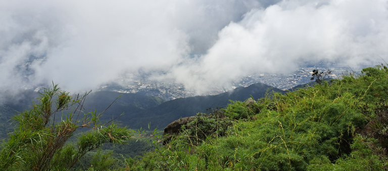
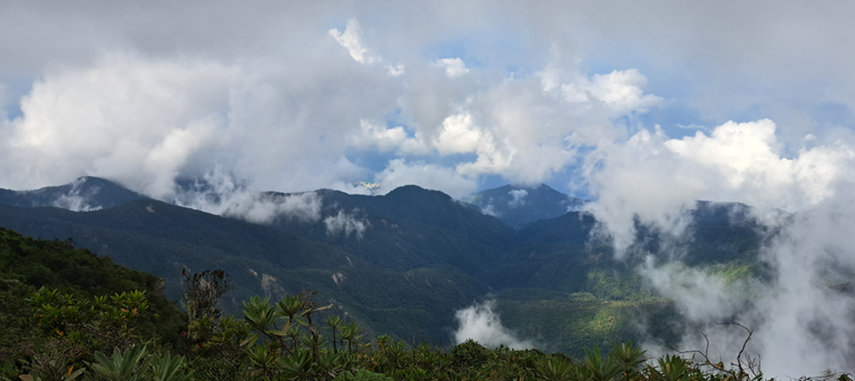
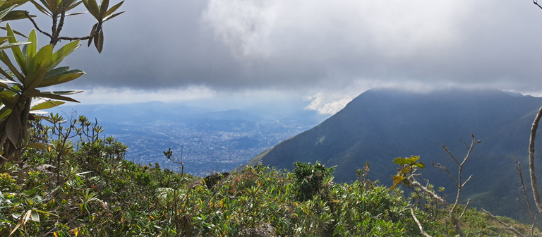
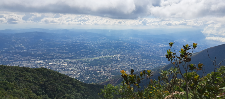
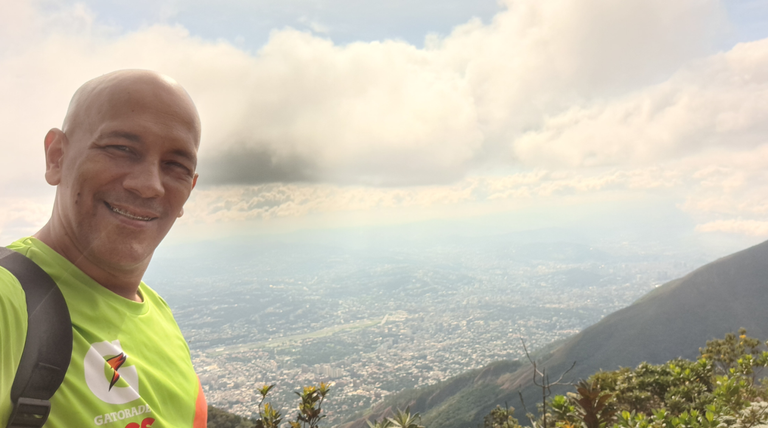
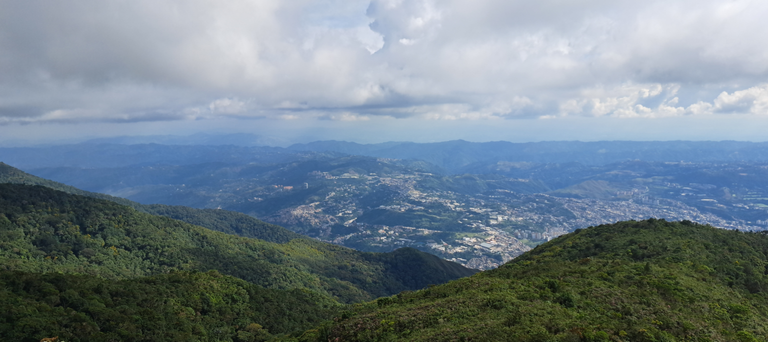
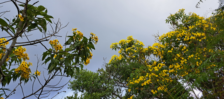
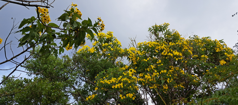
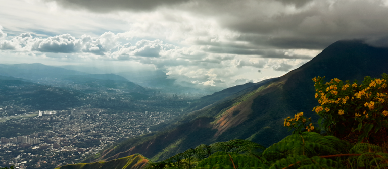
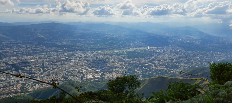
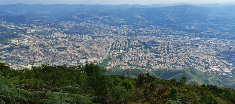
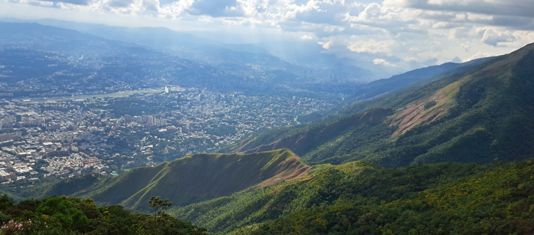
Vi la gloria al llegar a la ciudad, aunque ya extrañaba el silencio de los autos y el sonido de la naturaleza. Me impactó que el ruido de la ciudad llegara tan alto, más allá de Dos Banderas, casí llegando a Naiguatá es que se deja de escuchar ese zumbido que nos tiene acostumbrados y es parte de la contaminación sónica.
No recomiendo subir al Naiguatá sin un buen entrenamiento. Es puro masoquismo 😁 Si lo haces elige el camino de la izquierda en El Edén.
I saw the glory when I arrived to the city, although I already missed the silence of the cars and the sound of nature. I was shocked that the noise of the city reached so high, beyond Dos Banderas, almost reaching Naiguatá is that you stop hearing that hum that we are accustomed to and is part of the sonic pollution.
I do not recommend climbing Naiguatá without a good training. It's pure masochism 😁 If you do it choose the left path in El Eden.

Posted Using InLeo Alpha
You can check out this post and your own profile on the map. Be part of the Worldmappin Community and join our Discord Channel to get in touch with other travelers, ask questions or just be updated on our latest features.
Wow! you have a great hiking. The surroundings is peaceful and soothing. Thanks for sharing.
I got very few people on the route. I liked that.
Ir al Naiguatå ida y vuelta debe ser muuuy rudo, y con poquita agua ¡ay! 😨🙃
Yo sólo lo he subido una vez, y fue de noche, por La Julia, comenzamos como a las 8:00 y tomamos la ruta de Dos Banderas porque la otra estaba empantanada nos dijeron. El ascenso fue duro y con frío, apenas nos detuvimos por ahí unos minutos porque nos congelábamos jajaja, era mejor estar en movimiento. Ya de madrugada caminando hasta parecía un sueño 😆, llegamos al anfiteatro antes de las 5 de la mañana, descansamos, comimos y luego hicimos cumbre. Acampamos y al día siguiente bajamos, me gustaría volver en algún momento para ver el paisaje de ascenso de día jejeje, ¡es una excursión espectacular!
Qué bueno que pudiste lograrlo a pesar de todo 👏🏻.
A mí me gustaría de noche en grupo y acampar arriba. Por ese lado solo he acampado en El Edén. Me imagino si en Dos Banderas tenías frío, cómo sería en el Pico
😂😆 Muuucho frío, y además viento, pero claro, no tanto como acampar en Mérida, por ejemplo jajaja.
¡Ojalá puedas hacerlo! Estoy segura de que te encantará, te dejo el post que hice de mi experiencia aquí, por si quieres ver detalles, ¡saludos!
Me parece que fuiste muy valiente al resistir esa tentación de devolverte en Dos Banderas, definitivamente ese es el filtro de la subida al Pico Naiguatá.
Una de las cosas que más me impresionó cuando subí, es que estamos tan alto que toda la ciudad se ve plana como un mapa, aunque sabemos que está llena de lomas y montañas. También me pareció increíble lo del ruido.
Felicidades por ese gran logro.
Yo también tengo en mente subir, pero todavía no tengo fecha.
No te voy a acompañar jajajaja, pasará mucho tiempo para que vuelva, que trauma 😭
Aunque seguro sabría prepararme más, sobretodo el tema del agua.
Algo que también me pareció curioso es que llega en momento, como que no te parece tan alto, como que vez a la ciudad igual. A mí me impresionó hasta Dos Banderas, después no tanto y creo que es porque la montaña ya está muy atrás.
@tipu curate
Upvoted 👌 (Mana: 8/58) Liquid rewards.
Upvoted 👌 (Mana: 0/58) Liquid rewards.
Bonito todo 🥳🥳🥳 bonitas fotos..., mucho riesgos pero valió la pena. Gracias a Dios lograste encontrar el camino y un guía, un angelito.
Poca comida y poco para picar porque se gasta mucha energía.
Viviste la experiencia que es lo mejor.🥳🥳🥳
Pienso que llevé lo perfecto en cuanto a comida, solo que las avispas no me dejaron terminar. Eran dos chuletas y 3 huevos, pero solo comí un bocado, eso sí, con bastante grasa. Llevar más es andar más pesado y lleno. Lo que me jodió fue el agua ☹️
The mountains look very beautiful my friend, have a nice day
Yes, it is the beautiful mountain that we see every day in Caracas.
Que ruta tan exigente pero con esas fotos se ve que vale la pena cada caída y cada mareo del trayecto 💪💪💪
Creo que pasará mucho tiempo para volver 😁, aunque me gustaría es quedarme a dormir.
Me quito el sombrero, de verdad que mis respetos hacia ti. Muy bonitas fotos del lugar ⛰️
Es rudo, pero vi gente como si nada, caminando rápido y relajados y yo WTF 😒
Que suerte tuviste el clima te favoreció, pero no te acompaño a subir y bajar el mismo día. Yo solo he llegado hasta el Edén...
Por otra parte mi mente dice Danieell eres un loco con un maraton en puerta y te lanzas eso para joder los tobillos...
BELLAS FOTOS ❤️
Agradezco haber subido, ya que me dio más confianza. Mis piernas se portaron excelentes y creo que gané resistencia. Todavía falta para el maratón. A comenzar los largos 💪
Hiya, @glecerioberto here, just swinging by to let you know that this post made it into our Top 3 in Travel Digest #2391.
Your post has been manually curated by the @worldmappin team. If you like what we're doing, please drop by to check out all the rest of today's great posts and consider supporting other authors like yourself and us so we can keep the project going!
Become part of our travel community:
Debo confesar que me reí muchísimo @danielvehe. También sentí temor por el señor que encontraste que creo que no era ningún señor nada. Pensar que nadie te vio subir también me generó cierto grado de ansiedad, estabas solo físicamente. La edad es un factor importante. Me encantaron las imágenes.
¡Felicitaciones!
Varias personas sabían que subiría. En el camino me topé con algunos excursionistas. El "señor" parecía un mendigo, sin dientes pero muy dispuesto a ayudar y parece que conocía bastante. Me ofreció agua y por alguna razón no la acepté, y necesitando bastante.
¿Por qué dices que no era un señor? ¿Piensas que era mi ángel de la guarda? jajajajjaja
Saludos, hermosa las fotografías, se ve que un recorrido bastante empinado, 10 horas es impresionante la dificultad de esta montaña, veo que valió la pena el esfuerzo para disfrutar de la naturaleza.
Si uno pensara bien las cosas y que va a estar 10 horas llevando palo, no lo haría jajajaj
!PIZZA
$PIZZA slices delivered:
@danzocal(9/10) tipped @danielvehe