Entrenamiento de Caminata de Montaña - cerro Mata Redonda [ESP/ENG]
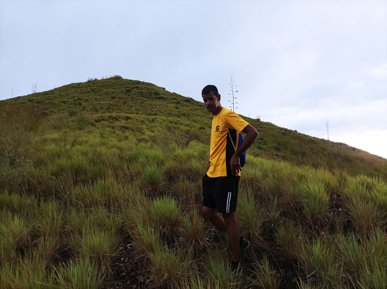
Greetings friends from Hive and @fulldeportes, today again I present to you a training session that I did on a new route on the hill called Mata Redonda in San Francisco de Asís, Zamora municipality, Aragua state, Venezuela.
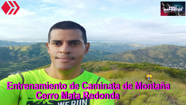
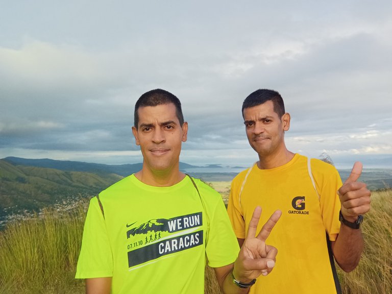
En este entrenamiento me levante a la 5:00 am para trasladarme a San Francisco de Asís, donde estaba esperándome mi hermanos Francisco quien es otra caminante que me acompañó en esta nueva aventura. Esta ruta me recuerdo mucho cuando estaba en bachillerato, en mis inicios como corredor, en donde algunas personas de la localidad decían que era imposible subir trotando sin pararse esta montaña debido a los fuerte que es esta ruta, pero nosotros dos nos propusimos entrenar mucho más para lograr ese gran reto, y un día logramos cumplir ese meta como lo fue llegar a la cima trotando sin pararse.
In this training I got up at 5:00 am to go to San Francisco de Asís, where my brother Francisco was waiting for me. He is another walker who accompanied me on this new adventure. This route reminds me a lot when I was in high school, in my beginnings as a runner, where some people from the town said that it was impossible to jog up this mountain without stopping because of how strong this route is, but the two of us decided to train much more to achieve that great challenge, and one day we managed to meet that goal as it was to reach the top jogging without stopping.
Ahora bien pienso que en la vida no debemos colocar ningún tipo de obstáculos para lograr alcanzar un objetivo, porque si hay personas que llegan a cumplir una meta no quiere decir que otros no puedan lograrlo, esto se ve mucho en el deporte cuando los corredores realizan una determinada marca en una distancia y dicen que esta durará un buen tiempo, sin embargo en cualquier momento es rota esa marca y logran el objetivo deseado.
Now, I think that in life we should not place any type of obstacle to achieve an objective, because if there are people who reach a goal, it does not mean that others cannot achieve it, this is seen a lot in sports when runners perform a certain mark at a distance and they say that it will last a long time, however at any moment that mark is broken and they achieve the desired objective.
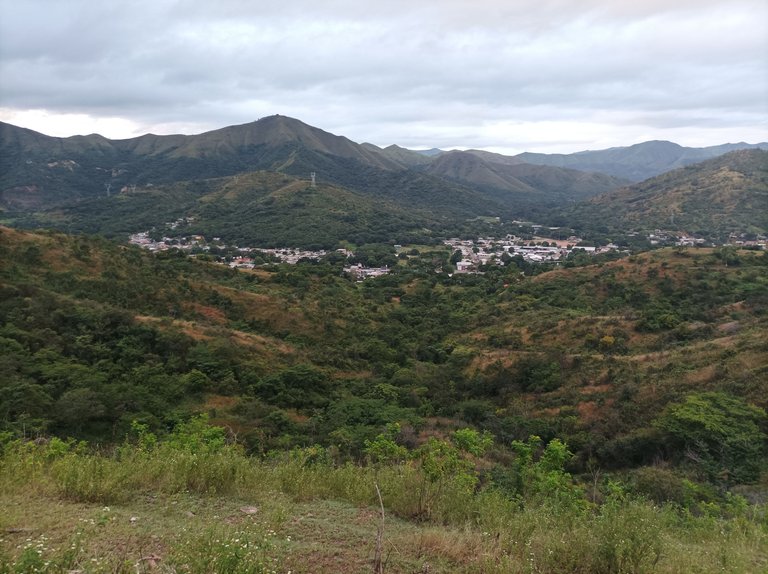
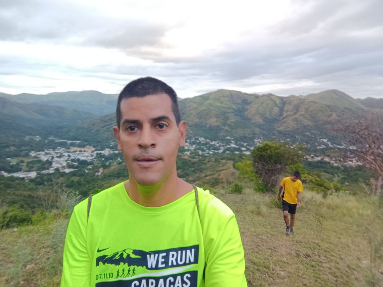
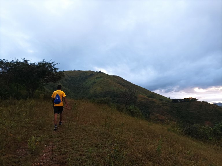
Cabe destacar que iniciamos el entrenamiento a la 6:00 am, inicié la aplicación Strava para llevar el registro de la ruta, pero yo pensé que tenía datos en mi teléfono móvil porque cuando intenté activarlos resulta que no tenía saldo, mi hermano Francisco si lo activo la aplicación en su teléfono y procedimos a salir a la montaña, al comenzar se hace un recorrido en carretera de asfalto de 8 minutos, y luego nos adentramos a la montaña.
It should be noted that we started training at 6:00 am, I started the Strava application to keep track of the route, but I thought I had data on my mobile phone because when I tried to activate it, it turned out that I had no balance, my brother Francisco did He activated the application on his phone and we proceeded to go out to the mountain, at the beginning there is an 8-minute journey on asphalt road, and then we enter the mountain.
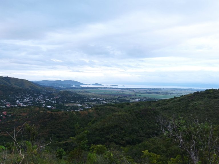
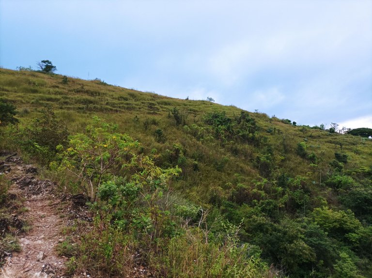
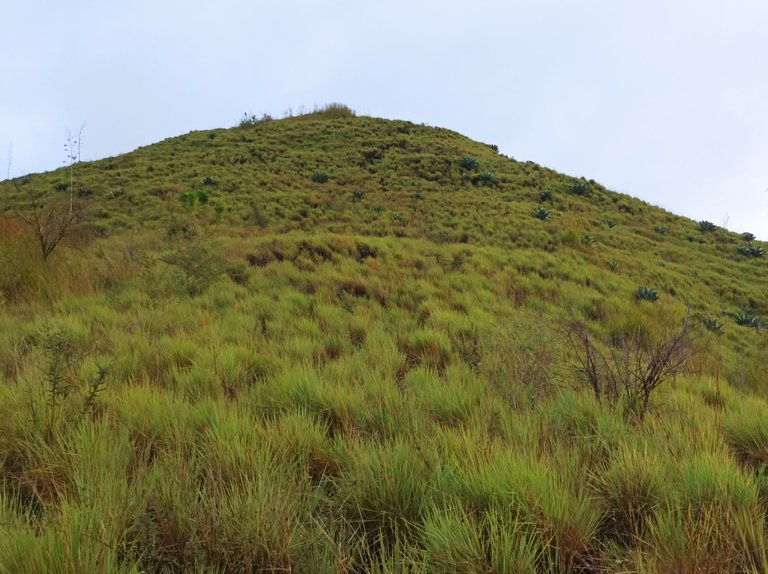
En cuanto al clima la temperatura estaba bastante fresco porque había llovido en la noche, y amaneció bien nublado, de hecho cayo una pequeña llovizna que duró muy poco, esta ruta son subidas constante tiene un pequeño descanso que son cortos en algunas partes. Llevamos un ritmo sostenidos durante la caminata me permitió poder hacer la grabación de la ruta y tomar las fotografías en el trayecto de esta bella montaña de mi comunidad.
As for the weather, the temperature was quite cool because it had rained at night, and it woke up very cloudy, in fact a little drizzle fell that lasted very little, this route is constant climbs, it has a small break that is short in some parts. We kept a steady pace during the walk, which allowed me to record the route and take pictures along the way of this beautiful mountain in my community.
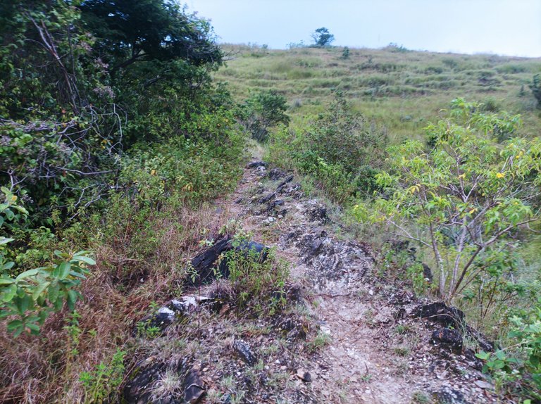
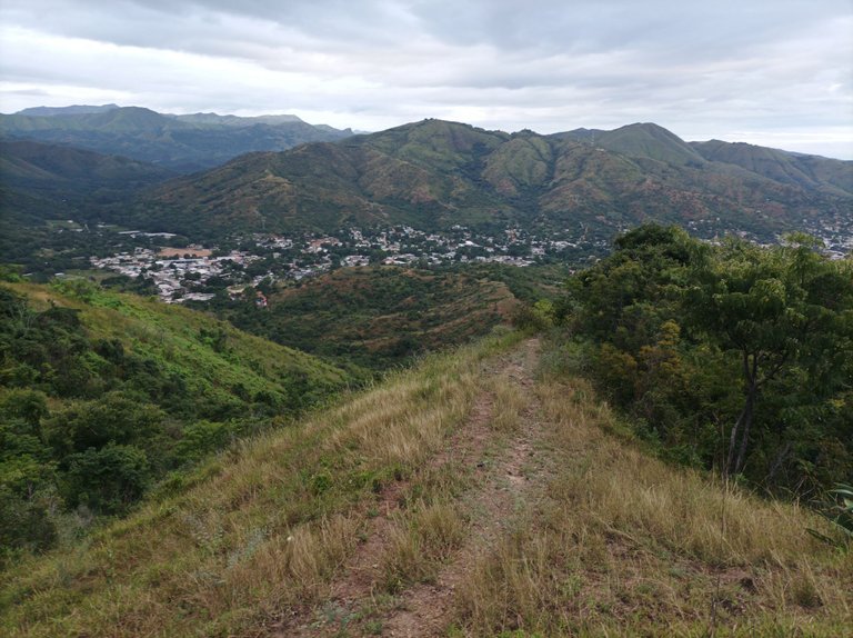
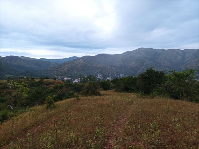
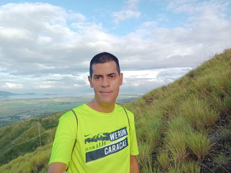
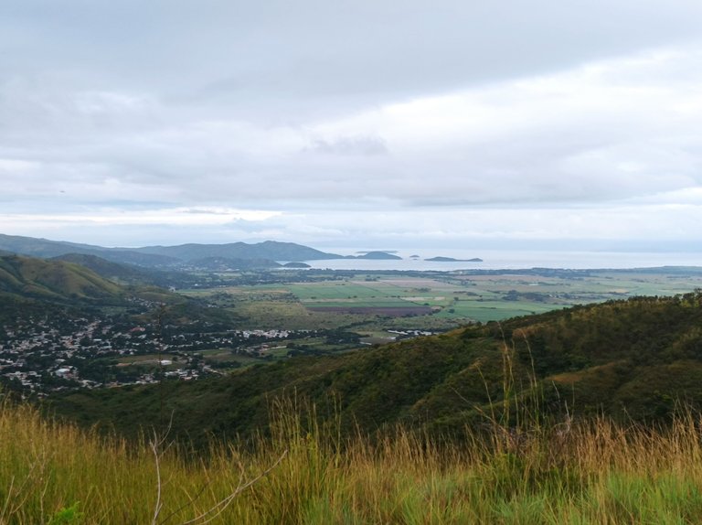
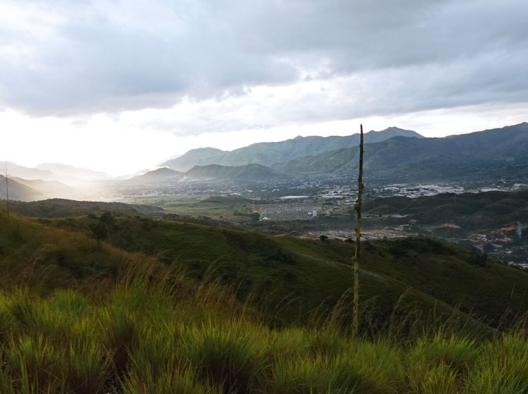
Esta montaña es llamada Mata Redonda, porque al final al llegar a la cima había allí un árbol de Cujie en la parte de arriba tenía una bandera inmensa , que se veía desde la población de San Francisco de Asís. Desde esta parte alta podemos apreciar el Lago de Valencia, la siembra de caña de azúcar, la parroquia de San Francisco de Asís, Augusto Mijares, la subestación La Horqueta, que distribuye la energía eléctrica a estas comunidades, y también se ven algunos edificios de Villa de Cura.
This mountain is called Mata Redonda, because at the end, when you reached the top, there was a Cujie tree, on top it had a huge flag, which could be seen from the town of San Francisco de Asís. From this upper part we can appreciate Lake Valencia, the sugarcane fields, the parish of San Francisco de Asís, Augusto Mijares, the La Horqueta substation, which distributes electricity to these communities, and some buildings of Villa de Cura.
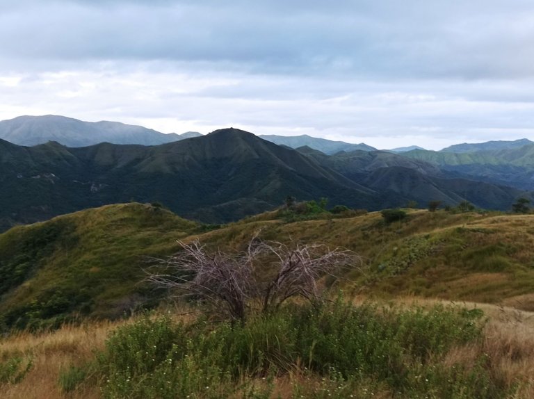
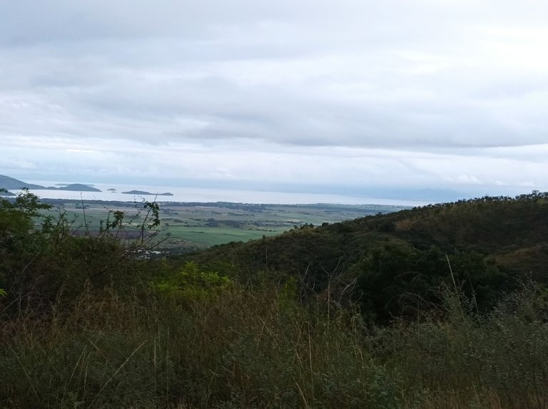
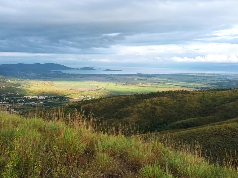
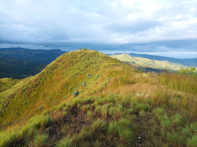
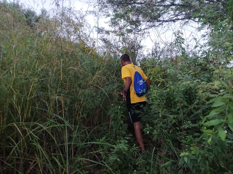
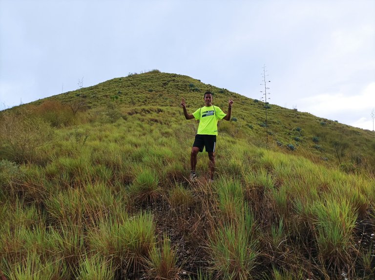
Cuando llegamos a la parte alta del cerro, lo hicimos en un tiempo de 52 minutos, descansamos unos minutos y teníamos pensamos subir otra montaña más, donde hace muchos años había unos nidos de Zamuros, pero la ruta estaba muy tupida de arbustos que nos impidió seguir el recorrido. Tenemos que esperar que venga el verano para que se despeje un poco el camino para poder subir a esta parte de la montaña.
When we reached the top of the hill, we did it in a time of 52 minutes, we rested for a few minutes and we thought we would climb another mountain, where many years ago there were Vulture nests, but the route was very thick with bushes that prevented us from follow the tour. We have to wait for summer to come so that the path clears up a bit to be able to climb this part of the mountain.
En esta oportunidad no les pude mostrar el registro en la aplicación Strava, por eso iba a mostrar la de mi hermano Francisco, pero no se guardó la información en el teléfono. Espero que les haya gustado esta ruta de caminata de montaña, nos vemos en una próxima publicación.
This time I couldn't show you the record in the Strava app, that's why I was going to show my brother Francisco's, but the information was not saved on the phone. I hope you liked this mountain hike route, see you in a future publication.
Portada realiza en Inkscape
Logo utilizados de Hive y de @fulldeportes
Fotografías: Teléfono Redmi Note 10
Se utilizó un Tripode Selfie Stick para la grabación y tomas fotográficas.
Algunas fotografías fueron tomadas por mi hermano Francisco Toro.
Edición de vídeo en Capcut
Música de Fondo Fuente
Cover made in Inkscape*
Logo used from Hive and @fulldeportes
Photographs: Redmi Note 10 phone
A Tripod Selfie Stick was used for the recording and photographic shots
Some photographs were taken by my brother Francisco Toro
Video editing in Capcut
Background Music Source

Vote la-colmena for witness By @ylich

▶️ 3Speak
https://twitter.com/172928385/status/1594351882323038213
https://twitter.com/491703210/status/1594359299274416128
The rewards earned on this comment will go directly to the people( @karlex77, @cetb2008 ) sharing the post on Twitter as long as they are registered with @poshtoken. Sign up at https://hiveposh.com.
EXCELENTE caminata mi amigo!! la vista desde arriba esta increible!! tambien lo hiciste muy rapido 50 minutos es rapidsimo para tanto recorrido
Saludos si amigo es una vista excelente, muchas gracias por comentar en tu blog
Hola amigo!! Como siempre, preciosos paisajes! Qué lindo despertarte temprano con el objetivo de ir a caminar, mejor dicho a hacer trekking, ese hermoso entrenamiento de montaña!
Me costó un poquito escucharte la voz, pero te seguí en el paseo y me encantó!
Que tengas un bello domingo!!
Hola amiga que bueno que te gustó, me faltó bajar el volumen al fondo musical, gracias por tu visita a mi blog.
¡Enhorabuena!
✅ Has hecho un buen trabajo, por lo cual tu publicación ha sido valorada y ha recibido el apoyo de parte de CHESS BROTHERS ♔ 💪
♟ Te invitamos a usar nuestra etiqueta #chessbrothers y a que aprendas más sobre nosotros.
♟♟ También puedes contactarnos en nuestro servidor de Discord y promocionar allí tus publicaciones.
♟♟♟ Considera unirte a nuestro trail de curación para que trabajemos en equipo y recibas recompensas automáticamente.
♞♟ Echa un vistazo a nuestra cuenta @chessbrotherspro para que te informes sobre el proceso de curación llevado a diario por nuestro equipo.
Cordialmente
El equipo de CHESS BROTHERS
Saludos muchas gracias por valorar mi publicación
Click on the badge to see your board.
Thank you to our sponsors. Please consider supporting them.
Buenas tardes amigo @cetb2008.
Como siempre quedamos asombrados por todos los paisajes que nos comparte y realizar caminatas por esos lugares deben ser únicos.
Para sumar recomendamos bajar un poco la música para poder entender y comprender los usted esta describiendo.
Felicitaciones y gracias por compartir sus contenidos en nuestra comunidad.
Hasta la próxima.
Saludos.
Saludos muchas gracias, el paisaje es muy bello en estas montañas, gracias por la sugerencia en el próximo lo tomaré en cuenta.
Está brutal ese entrenamiento,las vistas deben ser increíbles
Saludos muchas gracias
Congratulations @cetb2008! You received a personal badge!
You can view your badges on your board and compare yourself to others in the Ranking
Saludos muchas gracias
Click on the badge to see your board.
Thank you to our sponsors. Please consider supporting them.
Greetings, thank you very much
Click on the badge to see your board.
Thank you to our sponsors. Please consider supporting them.
Click on the badge to see your board.
Thank you to our sponsors. Please consider supporting them.
Click on the badge to view your board. Click [here](https://hivebuzz.me/rankingWC) to check your ranking.
Thank you to our sponsors. Please consider supporting them.
Check out the last post from @hivebuzz:
Click on the badge to view your board. Click [here](https://hivebuzz.me/rankingWC) to check your ranking.
Thank you to our sponsors. Please consider supporting them.
Check out the last post from @hivebuzz: