Entrenamiento de Caminata ruta Valles de Tucutunemo -Montero [ESP/ENG]
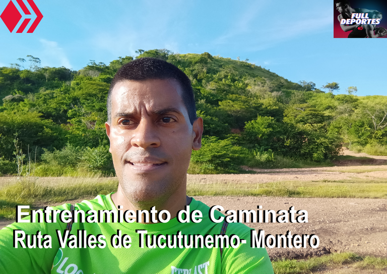
El entrenamiento se inició a las 4:30 pm de la tardes, se hizo un recorrido hacia los Valles de Tucutunemo en Villa de Cura, tenía planificado subir la montaña que se encuentra en esta vía, pasando un poco donde está una empresa que era del gobierno, pero actualmente se encuentra un comando de la guardia nacional, debido a que estas últimas semanas ha llovido un poco el camino para acceder a esta montaña quedó cubierto de muchos arbusto y entonces luego de caminar 20 minutos, me regrese para buscar otra nueva ruta.
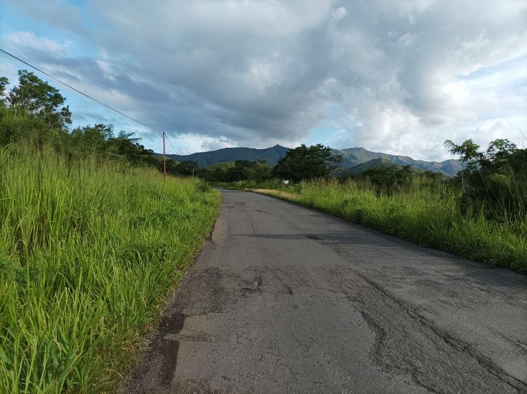
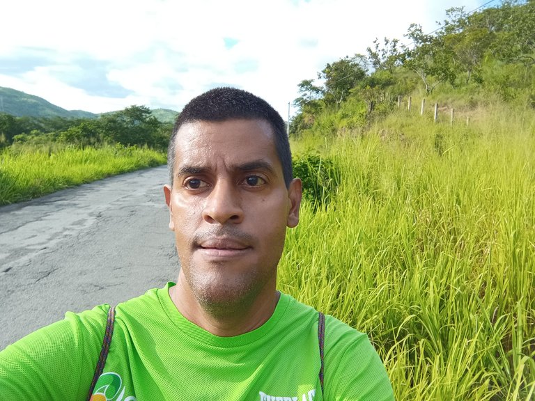
En esta zona hacia los Valles de Tucutunemo se han realizado algunas caminatas los días domingo, pero en la semana no es muy recomendable porque hay mayor tráfico de vehículo, se debe caminar y estar pendiente de los carros que transitan en la vía, ya que no hay una caminería o aceras para hacer el entrenamiento.
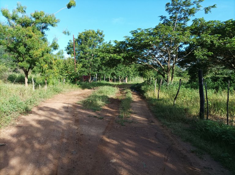
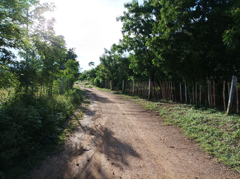
Después de llegar a la avenida principal me dirigí al asentamiento campesino Montero, llevando un ritmo de caminata bastante suave, este trayecto se caracteriza por ser totalmente plano, donde podemos visualizar siembras de diferentes rubros como el maíz, ya que los agricultores están aprovechando la lluvia para su siembra.
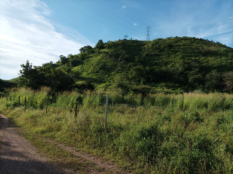
Cabe destacar que cuando hacemos entrenamiento de caminata de montaña, no es recomendable subir todos los días, porque con el tiempo podemos tener problemas en las rodillas, debido a que forzamos mucho cuando se desciende en la bajada, aparte de eso esto ocasiona agotamiento físico y también aburrimiento en el entrenamiento, por eso se deben variar las rutas con trayectos que sean planos.
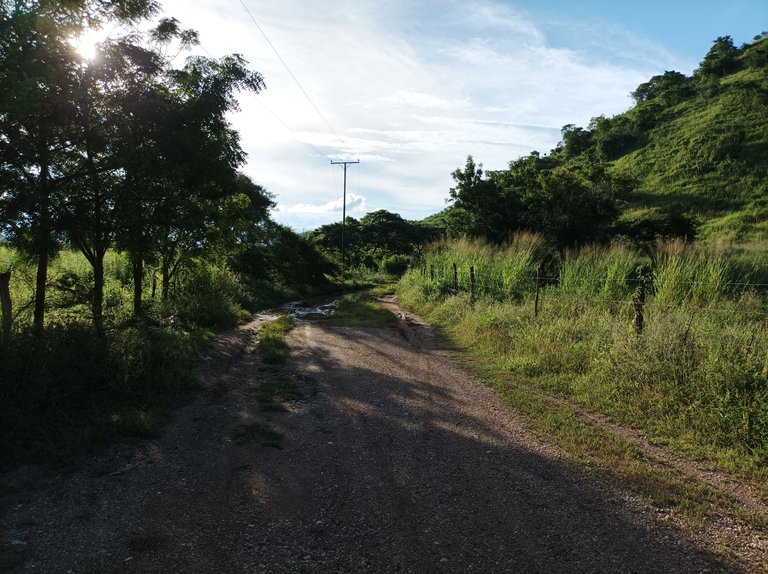
En cuanto el clima pensé que la tarde iba estar bastante fresca, porque estuvo lloviendo parte de la mañana y hasta las 2 de la tarde, pero luego salió el sol, la temperatura estuvo un poco calurosa, en el trayecto como la carretera del asentamiento campesino de Montero es de tierra estaba empantanado en algunas partes me resbale y otras no tuve problemas para continuar mi caminata.
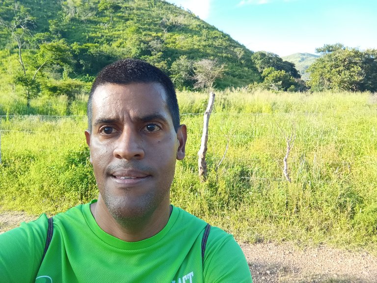
Quiero decirles que cuando se hace entrenamientos de caminata, es recomendable también entrenar en diferentes horarios, para que nuestro organismo se adapte a diferentes climas con calor o frío, y de esta forma cuando nos corresponda participar en alguna competencia estemos preparados con buenas condiciones físicas y realizar una buena actuación.
Realicé en este entrenamiento un tiempo total de 1 hora con 26 minutos, marcando la distancia de 9 km con 10 metros hasta la avenida, de acuerdo al registro en la aplicación Strava de mi teléfono móvil. No tenía pensado hacer más de una hora pero como me devolví entonces tomé otra ruta que no estaba previsto.
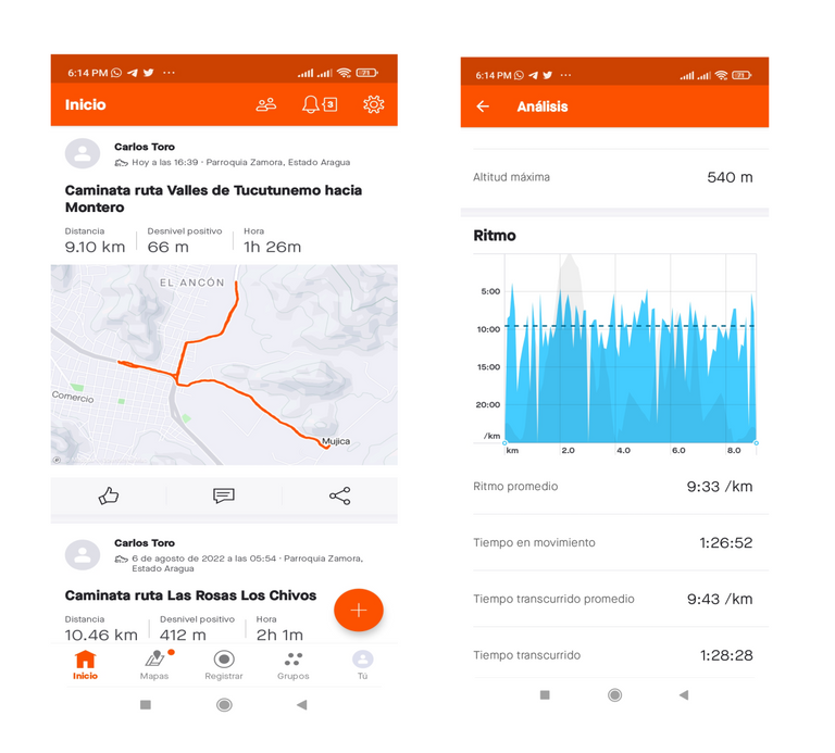
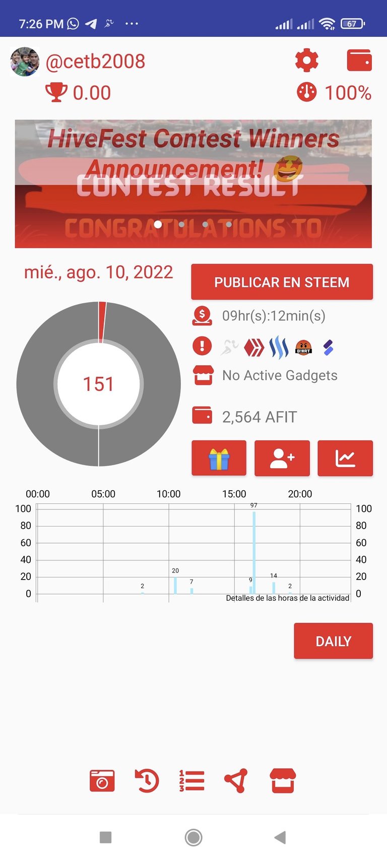
Al comenzar este entrenamiento activé la aplicación Strava la cual funcionó correctamente y también la Actifit Fitnes para llevar el registro de los pasos, pero esta última no registro correctamente, me imagino con el roce de la ropa se desactivo, pero en otra oportunidad voy a estar más pendiente para registre la información y publicar en Hive mi primera publicación con esta aplicación.
Fotografías: Teléfono Redmi Note 10
Portada realizada en Inkscape
Logo utilizados de la comunidad de @fulldeportes y Hive
Espero que les haya gustado este entrenamiento, nos vemos en el próximo.
English

The training began at 4:30 pm in the afternoon, a tour was made to the Valleys of Tucutunemo in Villa de Cura, I had planned to climb the mountain that is on this road, passing a little where a company that belonged to the government, but there is currently a command of the national guard, because in recent weeks it has rained a little, the road to access this mountain was covered with many bushes and after walking 20 minutes, I return to look for another new route.


In this area towards the Valleys of Tucutunemo there have been some walks on Sundays, but during the week it is not highly recommended because there is more vehicle traffic, you must walk and be aware of the cars that travel on the road, since they do not there is a path or sidewalks to do the training.

After arriving at the main avenue, I went to the Montero sowing peasant settlement, walking at a fairly easy pace, this path is characterized by being totally flat, where we can see different items such as corn, since the farmers are taking advantage of the rain to his sowing.

It should be noted that when we do mountain walk training, it is not recommended to go up every day, because over time we can have knee problems, because we force a lot when going downhill, apart from that this causes physical exhaustion and also boredom in training, so routes should be varied with paths that are flat.

As for the weather, I thought that the afternoon was going to be quite cool, because it was raining part of the morning and until 2 in the afternoon, but then the sun came out, the temperature was a bit hot, on the way like the road of the peasant settlement de Montero is dirt, I was bogged down in some parts I slipped and others I had no problems continuing my walk.

I want to tell you that when walking training is done, it is also advisable to train at different times, so that our body adapts to different climates with heat or cold, and in this way when we have to participate in a competition we are prepared with good physical conditions and perform a good performance.

I completed a total time of 1 hour and 26 minutes in this training, marking the distance of 9 km with 10 meters to the avenue, according to the record in the Strava application of my mobile phone. I hadn't planned to do more than an hour but since I turned back I took another route that wasn't planned.

At the beginning of this training I activated the Strava application which worked correctly and also the Actifit Fitnes to keep track of the steps, but the latter did not record correctly, I imagine with the friction of the clothes it was deactivated, but in another opportunity I will be More pending to register the information and publish my first publication with this application on Hive.
Photos: Redmi Note 10 phone
Cover made in Inkscape
Logo used from the @fulldeportes and Hive community
I hope you liked this training, see you in the next one.
Ícono de validado por la comunidad


https://twitter.com/cbit_roxana_mdh/status/1557545018033856512
The rewards earned on this comment will go directly to the people( @cetb2008 ) sharing the post on Twitter as long as they are registered with @poshtoken. Sign up at https://hiveposh.com.
Muy linda la zona de la caminata amigo @cetb2008 como siempre deseándole muchos éxitos, desde Cumaná.
Saludos amigo muchas gracias.
Gracias a usted amigo @cetb2008 como quisiera acompañarle en los paisajes tan hermosos que usted siempra visita. Éxitos hermano.
Para mi sería un placer estar en su compañía, muchas gracias por su comentario.
Gracias por las recomendaciones y explicaciones sobre el entrenamiento para subir montaña, no es algo que pueda hacer con frecuencia porque cerca de mi no hay montañas pero es algo que cuando tengo la oportunidad de viajar a sitios que me lo permiten me gusta experimentar y la verdad desconocía varias de las recomendaciones que das, me gustaron mucho para tomarlo en cuenta en futuras ocasiones, muy buen contenido, gracias!! 😁💪🏽🙌🏽
Hola @andreaelina espero que tengas la oportunidad de disfrutar de una caminata en la montaña, gracias por visitar mi blog.
Buenas noches amigo esta ruta tiene hermosos paisajes que provocan caminar mucho más, el cielo se ve muy bonito.
Paz y bien!
Saludos amigo si es un bello ambiente natural, muchas gracias por visitar mi blog.