Entrenamiento de Caminata ruta La Molinera - Cañaveral 15.22K
Greetings friends of Hive and @fulldeportes, today I'm going to share my training walk on the route of the peasant settlement La Molinera - Cañaveral , in the community of San Francisco de Asis, Aragua state, Venezuela.
Desde hace unos años que no entrenaba por esta ruta, cuando corría para los maratones, este recorrido lo iba realizar el día jueves pero no se pudo debido a que llovió mucho en la madrugada y después planifique con mi hermano para entrenar el día de hoy viernes. Salimos a la 6:10 AM desde la calle Comercio que esta paralela a la avenida Bolívar, después pasamos por sector La Frontera, y nos adentramos al asentamiento campesino La Molinera, en dónde pude ver que en varias parcelas habían siembras de maíz, cria de gallina y ganado.
I haven't trained on this route for a few years, when I ran for marathons, I was going to do this route on Thursday but it couldn't be done because it rained a lot in the early morning and then I planned with my brother to train today, Friday. . We left at 6:10 AM from Comercio Street, which is parallel to Bolívar Avenue, then we passed through the La Frontera sector, and entered the La Molinera peasant settlement, where I could see that in several plots there were corn crops, breeding of chicken and cattle.
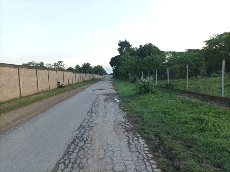
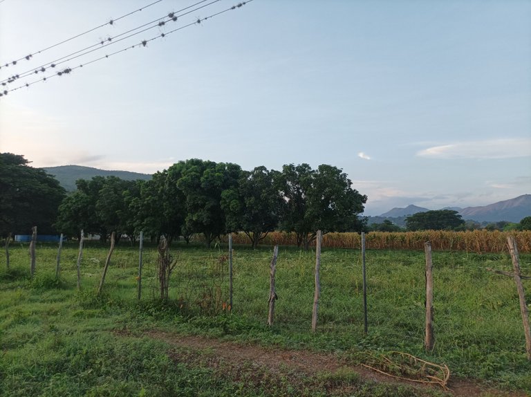
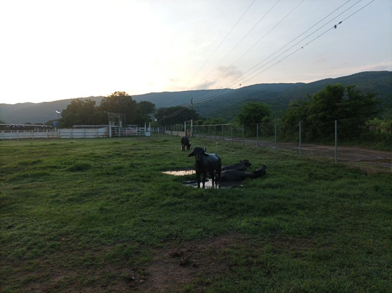
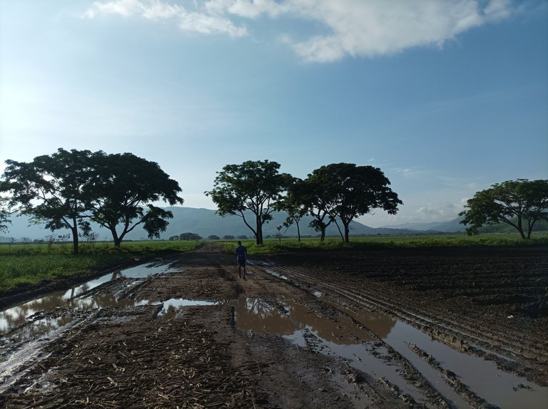
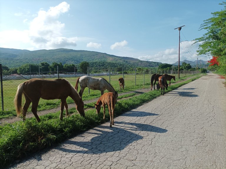
Cabe destacar que después que caminamos los primeros 2K, en un tiempo de 10 minutos, pude apreciar en una de las haciendas varios búfalo y caballos que estaban en la carretera. Una vez que llegamos hasta donde se encuentra una bomba, la aplicación Strava registro 3K en un tiempo de 30 minutos y 19 segundos . En e esta ruta yo había planificado era llegar hasta una parte llamada la subida de Castillo, pero no pudimos continuar avanzando porqué había mucho barro en la carretera.Debido a esto nos desviamos hacia Los Cañaverales, que es la siembra de Caña de Azúcar.
It is worth noting that after we walked the first 2K, in a time of 10 minutes, I could see in one of the farms several buffalo and horses that were on the road. Once we got to where a pump is located, the Strava application recorded 3K in a time of 30 minutes and 19 seconds. In this route I had planned was to reach a part called the ascent of Castillo, but we could not continue advancing because there was a lot of mud on the road, because of this we diverted to Los Cañaverales, which is the planting of sugar cane.
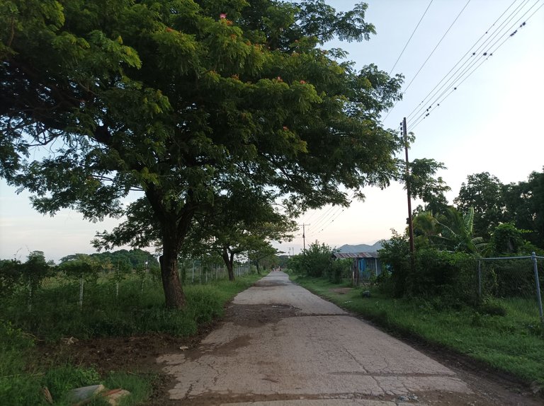
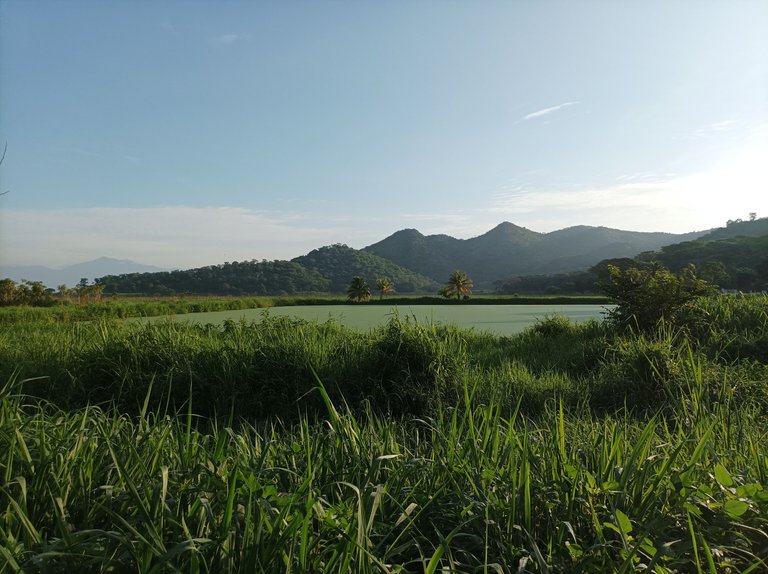
Asimismo está ruta es totalmente plano, comenzamos a caminar alrededor de la siembra de caña, que están pequeñas en este momento, esta es una recta bastante larga con más de 3k de distancia, después nos encontramos con una laguna que es utilizada para el riego de la siembra de caña, pude tomar algunas fotografías que parece la orilla de una playa con árboles inmensos, donde observamos varias garzas que estaban tomando agua de la laguna.
Also this route is totally flat, we started walking around the sugar cane plantation, which are small at this time, this is a fairly long straight with more than 3k distance, then we found a lagoon that is used for irrigation of the sugar cane plantation, I could take some pictures that looks like the edge of a beach with huge trees, where we observed several herons that were taking water from the lagoon.
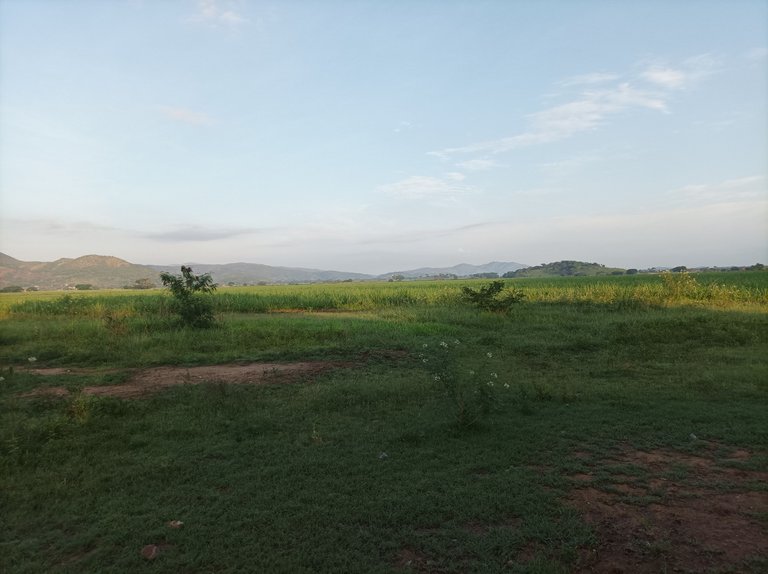
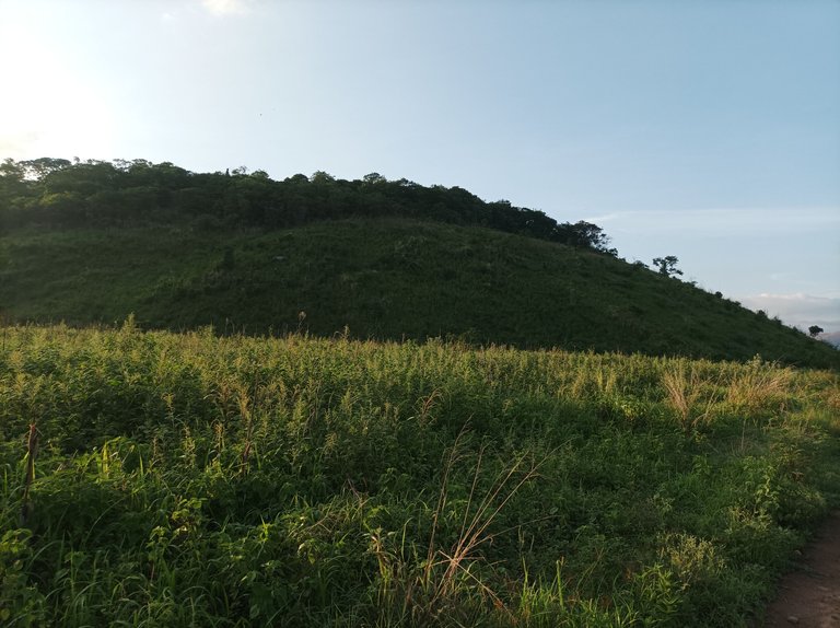
Por otro lado, al frente de la laguna, la aplicación registro 5K en una distancia de 51 minutos, mantuvimos un buen ritmo de caminata, después al llegar a una esquina nos desviamos como para dar la vuelta, ya el sol comenzó a sentirse fuerte, llevando una distancia de 6.86K, la carretera es totalmente de tierra y en algunas partes había mucho barro, había que caminar con cuidado para no caerse.
On the other hand, in front of the lagoon, the application registered 5K in a distance of 51 minutes, we kept a good walking pace, then when we reached a corner we turned around, the sun began to feel strong, carrying a distance of 6.86K, the road is completely dirt and in some parts there was a lot of mud, we had to walk carefully to avoid falling.
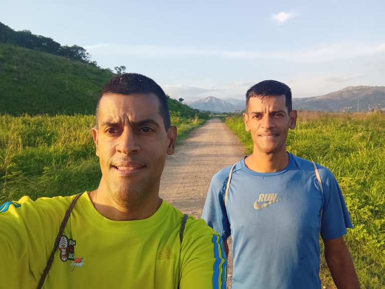
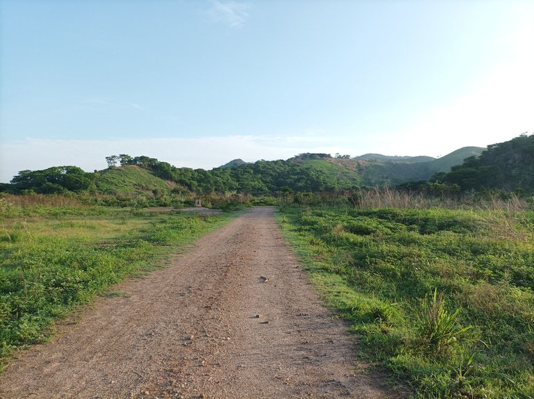
Cabe resaltar que está ruta se caracteriza por un terreno con recta de más de 3Km, y con una superficie de tierra, cuando llegamos a una esquina nuevamente nos desviamos a la izquierda para regresarnos, cerca de la siembra se encuentra la parroquia Augusto Mijares, una vez que llegamos hasta un lugar donde se encuentra un Saman, la aplicación registro los 10K, en un tiempo de 1 hora 41 minutos.
It should be noted that this route is characterized by a straight terrain of more than 3Km, and with a dirt surface, when we reached a corner again we turned left to return, near the planting is the parish Augusto Mijares, once we got to a place where there is a Saman, the application recorded the 10K, in a time of 1 hour 41 minutes.
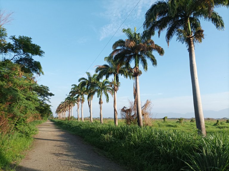
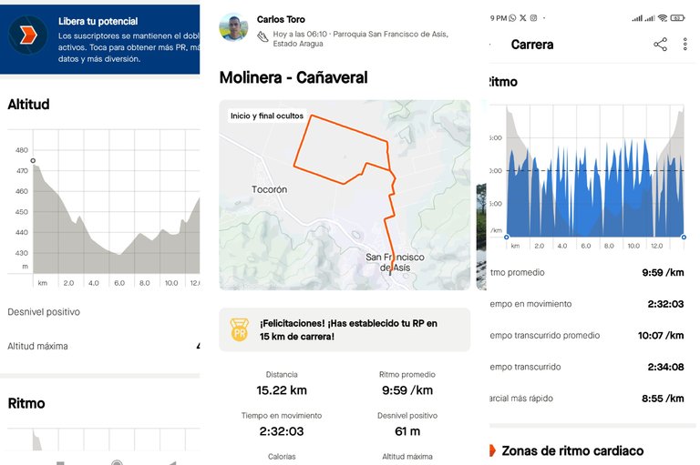
Luego llegamos nuevamente a la primera recta para continuar bajando, y pasar por el asentamiento campesino La Molinera y luego llegamos a la población de San Francisco de Asis, de 2 horas 34 minutos, con una distancia de 15,22K, una altura máxima de 475m.
Then we arrive again at the first straight to continue descending, and pass through the peasant settlement La Molinera and then we arrive at the town of San Francisco de Asis, 2 hours 34 minutes, with a distance of 15.22K, a maximum altitude of 475m.
Espero que les haya gustado este entrenamiento de caminata.
I hope you liked this walking workout.
Fotografías: Teléfono Redmi Note 10
Portada realizada en APP GridArt
Logos utilizados de Hive y de fulldeportes
Traductor utilizado: Traductor de Google
Photos: Redmi Note 10 Phone
Cover made in The APP GridArte
Used logos of Hive and fulldeportes
Translator used: Translator used: Google Translate

Vote la-colmena for witness By @ylich

Lo
Excelentes imágenes, seria muy bueno caminar por allí con amigo y conocidos del deporte.
Saludos, muchas gracias por pasar y comentar.
Amigo como siempre un excelente recorrido y un paisaje que da gusto ver. Cómo siempre un gran post, con un buen escrito y unas buenas imágenes que complementan la lectura.
Saludos.
Saludos y, agradecido por tu comentario, feliz fin de semana.