Entrenamiento de Caminata de Montaña ruta El Peñón - La Bandera [ESP/ENG]
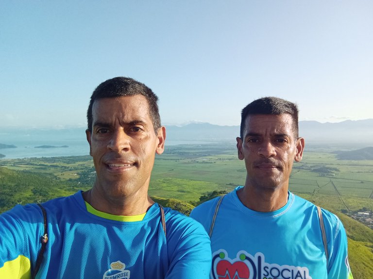
Greetings friends of Hive and the @Fulldeportes community, today I'm going to share with you my mountain hiking training that I did this Sunday, along with my brother, on the route of El Peñón - La Bandera hill, in the community of San Francisco de Asís, Zamora municipality, Aragua state, Venezuela.
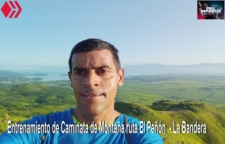
En este entrenamiento salí a la 5:20 am, para tomar el autobús que me llevaría a esta comunidad, pensé llegar antes de la 6:00 am, pero el transporte tardo un poco más de lo normal, sin embargo a la 6:20 comenzamos nuestro entrenamiento, active las aplicaciones Strava y Actifit para registrar esta actividad física. Salimos desde la avenida Bolívar que es la carretera nacional, para tomar la calle La Libertad, del sector Rancho Grande, y casi al final de esta nos desviamos, para comenzar a subir la montaña, caminando 5 minutos.
In this training I left at 5:20 am, to take the bus that would take me to this community, I thought I would arrive before 6:00 am, but the transport took a little longer than normal, however at 6:20 we started our training, activate the Strava and Actifit applications to record this physical activity. We left from Bolivar Avenue which is the national road, to take the street La Libertad, Rancho Grande sector, and almost at the end of this we turned off, to begin to climb the mountain, walking 5 minutes.
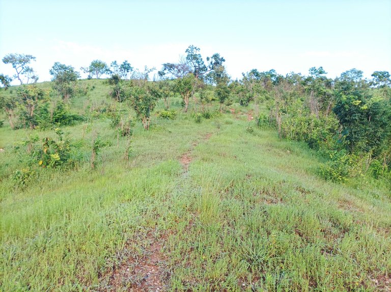
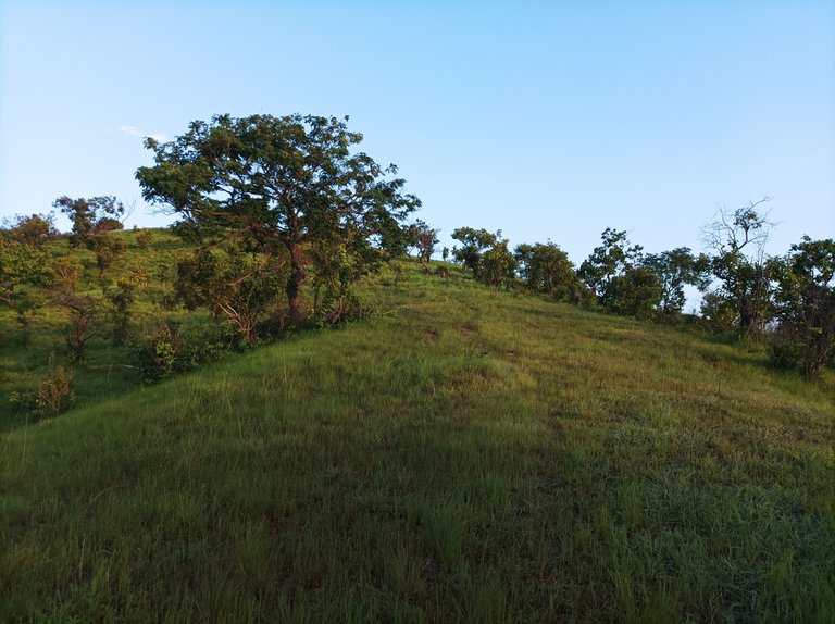
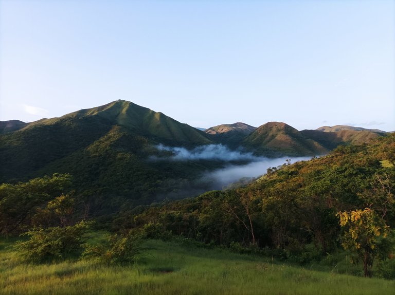
Una vez que comenzamos a subir, los zapatos se mojaron totalmente, debido a que estuvo lloviendo la noche anterior, esto no fue impedimento para poder subir esta bella montaña, que ha recuperado el verdor debido a las lluvias, con un clima bastante fresco, por esta parte del recorrido las subidas son continuas, en algunas partes hay un pequeño plano que sirve de descanso para recuperarnos del esfuerzo físico, aunque el ritmo que mantuvimos constante, donde pudimos conversar algunas cosas durante el recorrido.
Once we started to climb, the shoes were completely wet, because it was raining the night before, this was not an impediment to climb this beautiful mountain, which has recovered the greenery due to the rains, with a fairly cool climate, for this part of the route the climbs are continuous, in some parts there is a small plane that serves as a rest to recover from the physical effort, although the pace we kept constant, where we could talk some things during the tour.
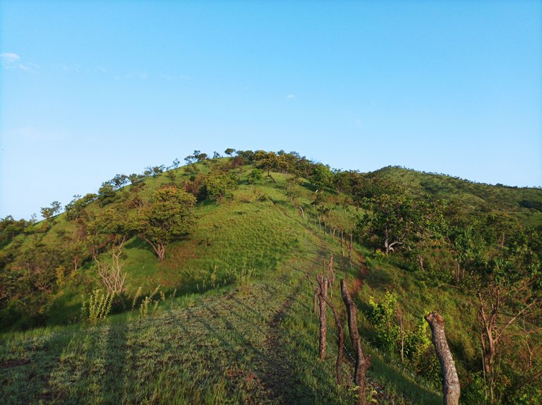
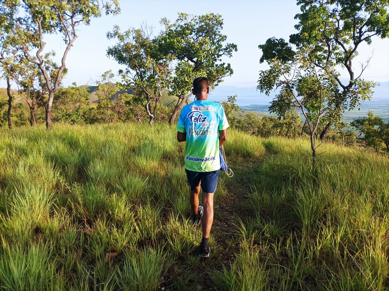
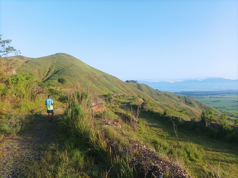
A medida que íbamos avanzando en esta ruta, la humedad en los zapatos aumentaba, y el tiempo estuvo despejado sin amenaza de lluvia, a mí cuando entreno si llueve me siento excelente, lo único es que tengo proteger el teléfono móvil en caso de que pase esto, lleve una bolsa de plástico para evitar que se moje. Por otro lado me gusta también cuando la neblina cubre la montaña, porque se siente agradable respira este oxigeno natural y disfrutar de la montaña.
As we were advancing in this route, the humidity in the shoes increased, and the weather was clear without threat of rain, to me when I train if it rains I feel excellent, the only thing is that I have to protect the cell phone in case this happens, take a plastic bag to prevent it from getting wet. On the other hand I also like when the mist covers the mountain, because it feels nice to breathe this natural oxygen and enjoy the mountain.
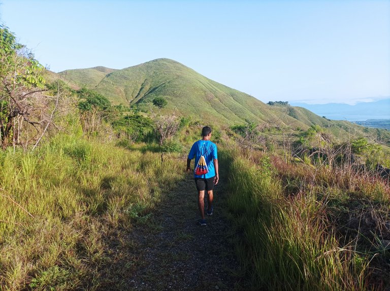
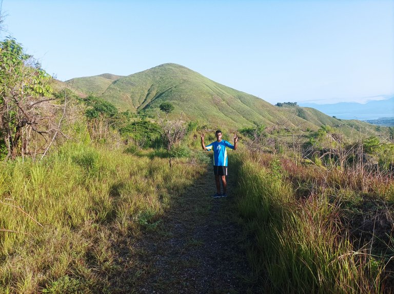
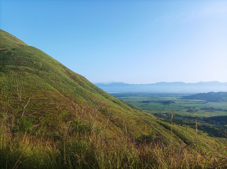
Mi hermano me dijo que su mejor tiempo que ha registrado en la cima de esta montaña, casi llegando a El Peñón es de 31 minutos, cuando llegamos allí el reloj marco 37 minutos, y este fue a un buen ritmo, es decir ni lento, ni demasiado rápido, después pasamos por unos arbustos que están creciendo bastante debido a las lluvias, aquí va hacer falta cortarlos con un machete, porque después el camino se iba tapar todo con los arbustos.
My brother told me that his best time he has recorded at the top of this mountain, almost reaching El Peñon is 31 minutes, when we got there the clock marked 37 minutes, and this was at a good pace, that is neither slow nor too fast, then we passed through some bushes that are growing quite a lot due to the rains, here it will be necessary to cut them with a machete, because then the road would be covered with bushes.
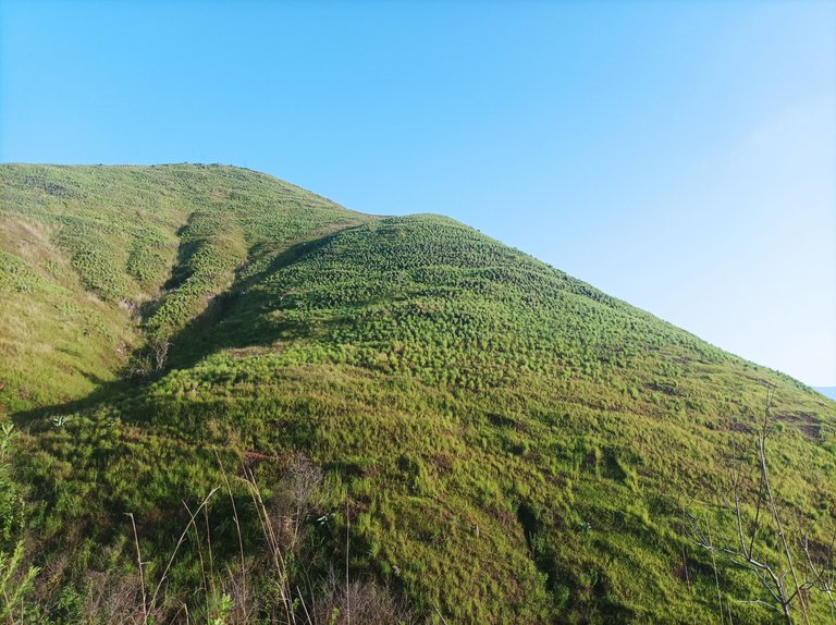
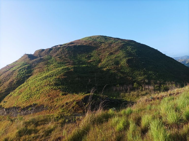
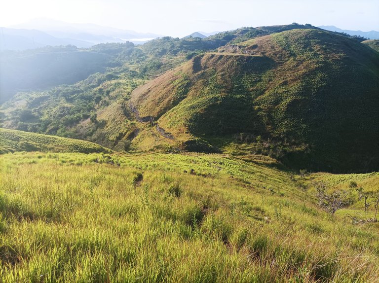
Luego de pasar una parte plana, tenemos al frente la última montaña que nos falta subir que es el cerro La Bandera, la última vez que subimos le demos una vuelta por detrás, pero esta vez escalamos de frente, aquí podemos ver pequeños plantas de Maguey, que son como la zabila, pero en medio de esta crece un tronco -que se utilizó mucho en la comunidad para los arbolitos de navidad, también hay una planta medicinal llamada Comino Rustico, que es parecido al Malojillo, se utiliza para algunas afecciones como la fiebre.
After passing a flat part, we have in front of us the last mountain that we still have to climb which is the Cerro La Bandera, the last time we climbed it we went around the back, but this time we climb from the front, here we can see small Maguey plants, which are like the zabila, but in the middle of this grows a trunk - which was used a lot in the community for Christmas trees, there is also a medicinal plant called Comino Rustico, which is similar to Malojillo, it is used for some conditions such as fever.
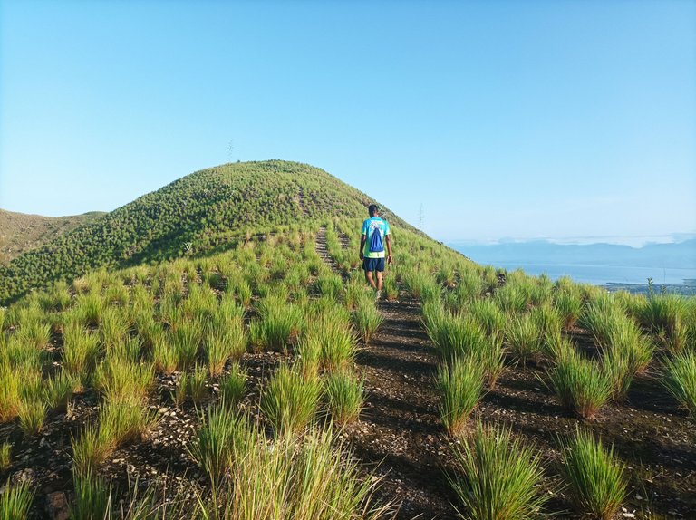
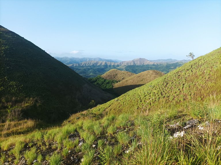
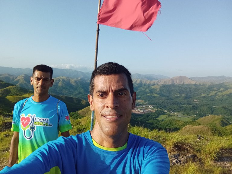
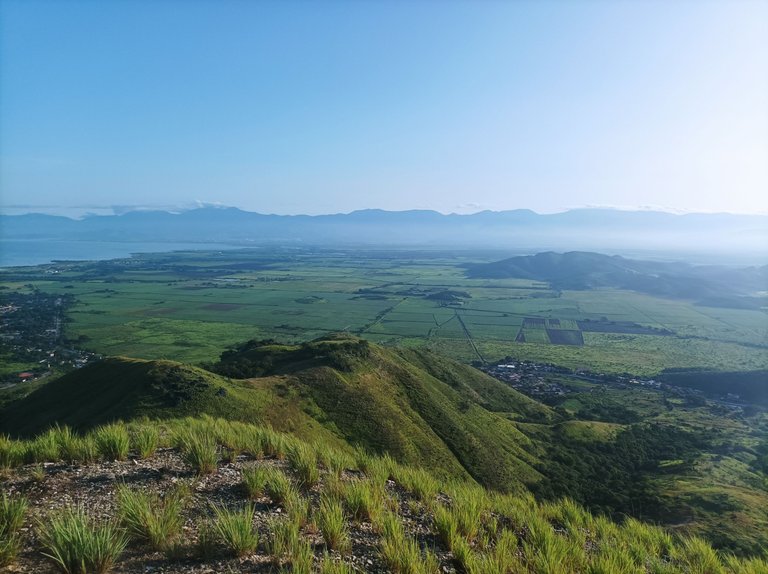
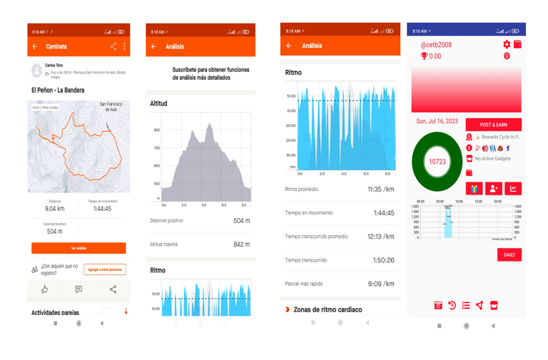
Después terminamos de ascender a esta montaña, La Bandera, donde podemos tenemos una vista impresionante del Lago de Valencia, se ven la siembra de caña de azúcar y las poblaciones de San Francisco de Asís y Tocorón, mi reloj marco un tiempo de 1 hora exacta en la cima de esta montaña. De acuerdo a la aplicación Strava una altura de 842 metros, con una distancia de 9 Km, y un tiempo total de 1 hora con 50 minutos, fue un entrenamiento excelente que lo disfrute al máximo.
Then we finished ascending this mountain, La Bandera, where we can have a breathtaking view of Lake Valencia, we can see the sugar cane fields and the towns of San Francisco de Asis and Tocoron, my watch marked a time of 1 hour exactly at the top of this mountain. According to the Strava application a height of 842 meters, with a distance of 9 km, and a total time of 1 hour and 50 minutes, it was an excellent workout that I enjoyed to the fullest.
Espero que les haya gustado, nos vemos en la próxima ruta de caminata de montaña.
I hope you liked it, see you in the next mountain hiking route.
Fotografías: Teléfono Redmi Note 10
Portada realizada en Inkscape
Logos Utilizados de Hive y @fulldeportes
Traductor utilizados https://www.deepl.com

Vote la-colmena for witness By @ylich

https://twitter.com/cbit_roxana_mdh/status/1680726183720132610?t=3DZ91gJffNFbeiNOGJwWdw&s=19
@cetb2008
https://leofinance.io/threads/view/fulldeportes1/re-leothreads-vglzmpor
https://leofinance.io/threads/cetb2008/re-leothreads-nmlfjpeg
The rewards earned on this comment will go directly to the people ( cetb2008 ) sharing the post on LeoThreads,LikeTu,dBuzz.
Que vitalidad mi bro @cetb2008 , sigue así de verdad. Mis respetos cada vez que veo tus publicaciones, feliz semana 💪💪💪
Saludos amigo, agradecido por tu comentario.
@cetb2008, me encantó tu post y verlos así con tantas ganas y fuerza, realizando una actividad bonita y necesaria para el cuerpo y la salud. Pero es que es un recorrido precioso, los zapatos mojados son una nimiedad ante tanta belleza.
Ya en la cima el panorama es aún más espectacular. Me encantó la cuarta foto, en la que se ve la neblina.
Abrazo
Hola amiga si es lo de menos el mojarse los zapatos de verdad, que un experiencia única, disfrutar de la naturaleza, gracias por tu comentario.
😇 placer mío de leer aquí
Cada vez que entrenas nos muestras la naturaleza y su belleza, gracias por recorrer esos senderos para conocerlos a través de tus post , los felicito por su disciplina y dedicación en este deporte, saludos
Hola amiga muchas gracias por tu comentario, agradecido por tu visita.