Entrenamiento de Caminata de Montaña Los Chivos - Taguaguay
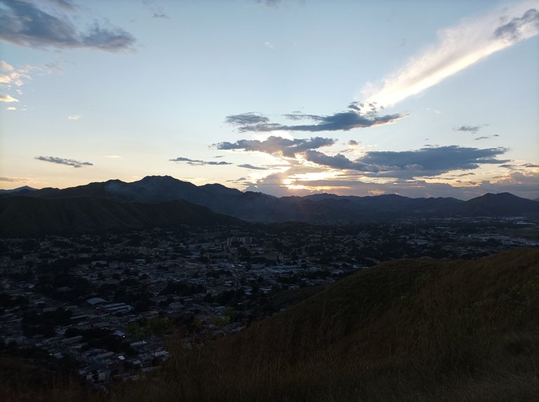
Greetings friends of Hive and @fulldeportes today I am going to share with you my mountain hiking training on the Los Chivos-Taguaguay hill route, in the community of Villa de Cura, Aragua state, Venezuela.
Este entrenamiento lo iba a realizar el día de ayer martes con mi amigo que me había escrito por mensaje de texto para entrenar, pero como iba para un compartir entonces lo suspendi, y entonces lo hice hoy miércoles, mi hijo quería subir pero le manifesté que voy a realizar una ruta larga. Sali a las 4:36 de la tarde, con un poco de sol, desde la avenida Lisandro Hernández, para después comenzar a subir por la primera entrada, al llegar a la cima de la primera subida, mi reloj registro un tiempo de 9 minutos con 51 segundos.
I was going to do this training yesterday, Tuesday, with my friend who had texted me to train, but since I was going to share it, I cancelled it, and so I did it today, Wednesday. My son wanted to go up, but I told him that I was going to do a long route. I left at 4:36 in the afternoon, with a little sun, from Lisandro Hernández Avenue, and then began to climb the first entrance. When I reached the top of the first climb, my watch recorded a time of 9 minutes and 51 seconds.
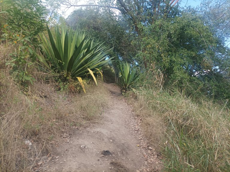
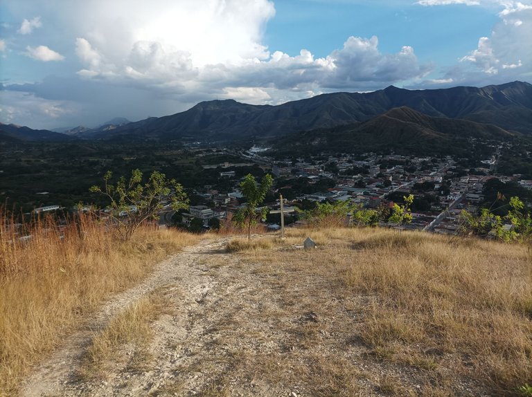
Después continúe avanzando manteniendo un buen ritmo, sintiendo un poco de calor, generalmente entreno es en la mañana pero como estuve pintando en la casa , entonces por eso fue que me decidí a caminar en horas de la tarde, terminé de subir la segunda pendiente y luego venía la más larga, en el recorrido no me tope con ningun caminante o corredor, me imagino es que está muy temprano, luego continúe mi recorrido para aumentar un poco el ritmo y llegar a donde están las máquinas de ejercicios con un tiempo de 18 minutos.
Then I continued moving forward keeping a good pace, feeling a little hot, usually I train in the morning but since I was painting at home, that's why I decided to walk in the afternoon, I finished climbing the second slope and then came the longest one, on the route I didn't meet any walkers or runners, I imagine it's very early, then I continued my route to increase the pace a little and get to where the exercise machines are with a time of 18 minutes.
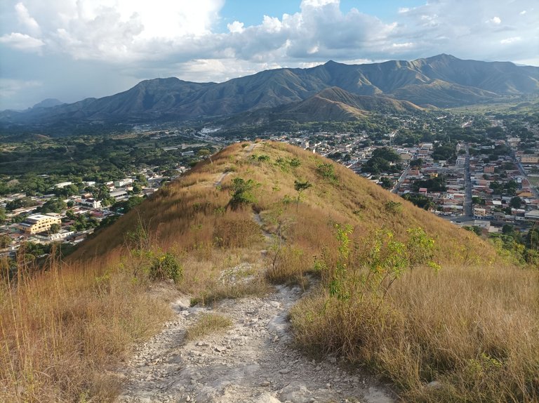
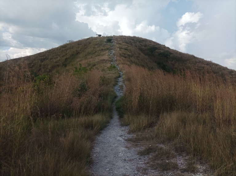
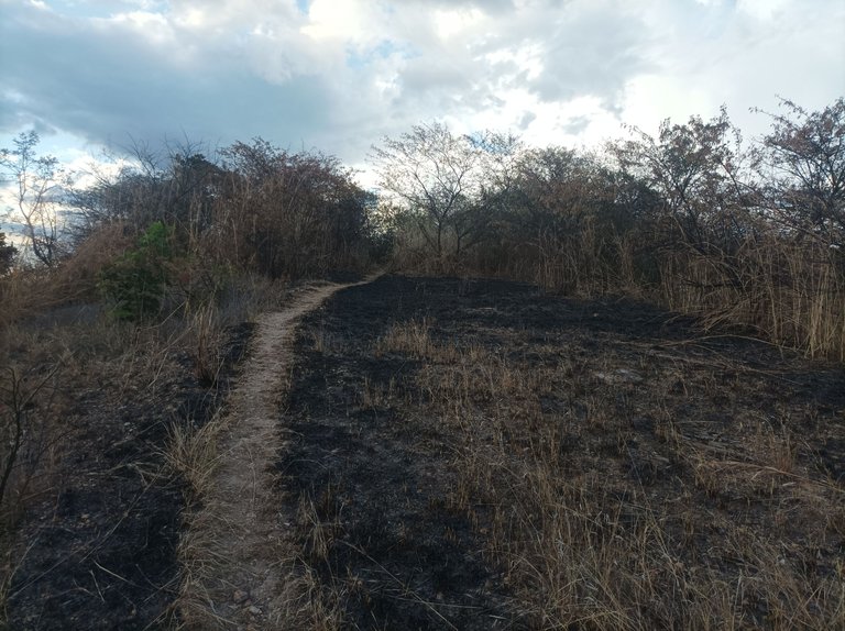
Asimismo, en esta parte comencé a descender, y al llegar a la parte baja que se comunica con Las Mercedes, con un tiempo de 24 minutos con 49 segundos registrado en la aplicación Strava, luego comencé a subir y la montaña estaba quemada debido a los incendios de ayer, los arbustos ya no estaban tapando el camino, esto es lo único bueno, y lo malo es que mueren los animales que quedan atrapados y los árboles que también sufren por estos incendios, que algunos son provocados y otro debido a las altas temperaturas.
Also, in this part I began to descend, and when I reached the lower part that connects with Las Mercedes, with a time of 24 minutes and 49 seconds recorded in the Strava application, then I began to climb and the mountain was burned due to yesterday's fires, the bushes were no longer blocking the path, this is the only good thing, and the bad thing is that the animals that are trapped die and the trees also suffer from these fires, some of which are caused and others due to high temperatures.
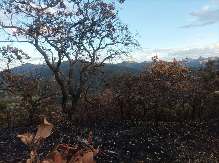
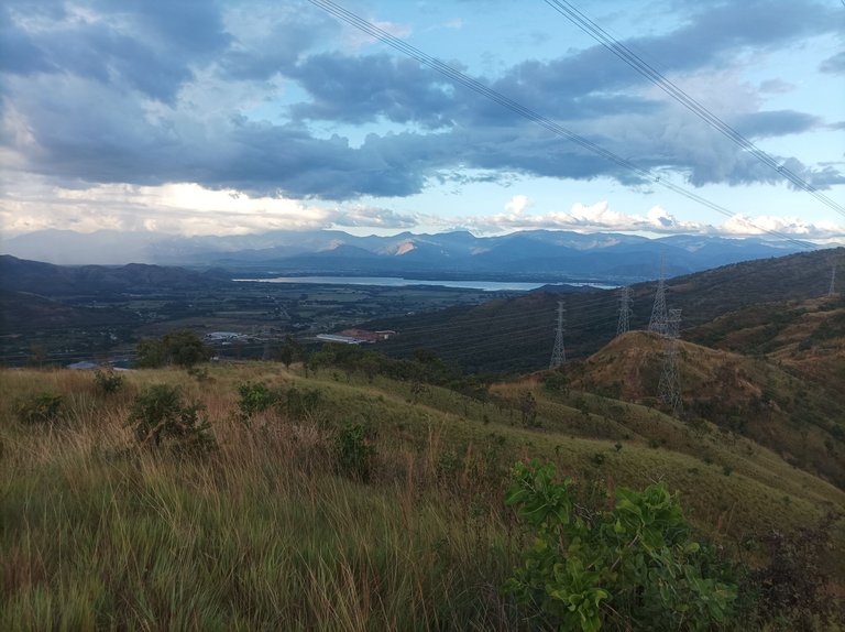
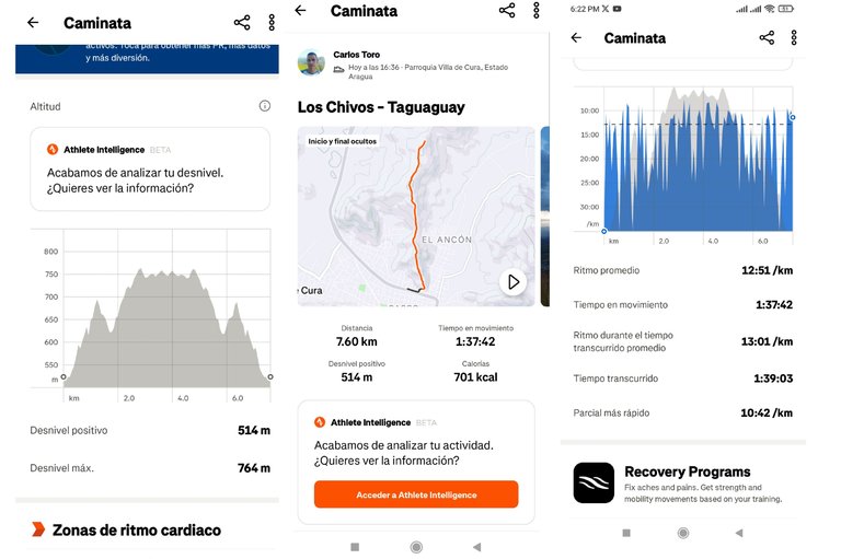
A medida que avanzaba, me sentí bastante bien y no me forcé mucho, llegué nuevamente a la parte alta, pasando por Las Torres y luego La Piedra, después continúe mi recorrido hasta llegar a la siguiente torre eléctrica desde donde se puede ver la laguna de Taguaguay del municipio Sucre. En esta parte me hidrate y me regresé por el mismo camino, una vez que salí de la montaña, ya el sol se estaba ocultando, y llegué nuevamente a la avenida Lisandro Hernández con una distancia de 7.6 K, un desnivel positivo de 514 m y desnivel máximo de 767 m, registrando en la aplicación Strava.
As I progressed, I felt pretty good and I didn't push myself too much, I reached the top again, passing by Las Torres and then La Piedra, then I continued my route until I reached the next electric tower from where you can see the Taguaguay lagoon in the Sucre municipality. In this part I hydrated and returned by the same path, once I left the mountain, the sun was already setting, and I arrived again at Lisandro Hernández Avenue with a distance of 7.6 K, a positive gradient of 514 m and a maximum gradient of 767 m, recording in the Strava application.
Espero que les haya gustado mi entrenamiento de caminata de montaña, nos vemos en el próximo.
I hope you liked my mountain walking training, see you in the next one.
Fotografías: Teléfono Redmi Note 10
Portada realizada en APP GridArt
Logos utilizados de Hive y de fulldeportes
Traductor utilizado: Traductor de Google
Photos: Redmi Note 10 Phone
Cover made in The APP GridArte
Used logos of Hive and fulldeportes
Translator used: Translator used: Google Translate

Vote la-colmena for witness By @ylich

Great job! Keep up the good work! 👏 !STRIDE (Comment !STOPSTRIDE to stop receiving upvotes & STR)
Me encantó tu post amigo, yo una vez fui a las torres y se siente una energía increíble, las fotos salen muy bellas y es relajante, gracias por compartir tu trabajo, éxitos y bendiciones. 😘🙏🏻
Hola que bueno, amén, gracias por tu comentario.
Me imagino que tú hijo quería mucho ir contigo a esa caminata, pero por su bien debiste dejarlo.
Es triste ver ese trayecto quemado, es como dices algunos por las altas temperaturas y otros lamentablemente provocados.
Lo bueno de todo, que pudiste culminar tu entrenamiento con éxito, felicidades, saludos 🥰🤗
Hola profe, ayer asistimos a la inauguración del campo de futbol Eddy Vargas en Carrizalito y desde allí observamos uno de los cerros ardiendo, creo que por las imágenes ya comenzó la quemadera. Cuidado profe! precaución, la quema espanta a los animales entre ellos las serpientes.